A fresh monsoon low pressure area is likely to form shortly over the Northwest Bay of Bengal (BoB). The weather system is expected to get organized and give a push to the subdued monsoon activity over the eastern and central parts of the country. Monsoon showers may not extensively reach north India but the state of Uttar Pradesh will receive decent rainfall at least for 3-4 days. Northeast India will also have fairly widespread rainfall, heavy at a few places during this week and early next week as well.
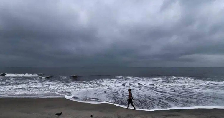
A cyclonic circulation is coming up over northwest BoB and adjoining Bangladesh in the next 24hours. This will get organized and strengthened over the subsequent 48hours. Under its influence, a low pressure area is likely to form on 16th-17thAugust over northwest and neighbouring head Bay of Bengal. System will find sufficient support in the upper atmosphere and circulation is likely to extend up to medium levels first and later reaching higher levels as well. On 18th and 19th, the low pressure will cover partly the land and largely over sea. System will be moving completely over land on 20thAug, covering Odisha and adjoining Chhattisgarh.
For the last one week, monsoon trough has shifted north of its normal position, resulting ‘break in monsoon’ conditions. Rainfall activity is limited to the foothills of Himalayas , parts of Bihar, Jharkhand, West Bengal, Sikkim and Northeast India. Minimal weather activity has been observed over the central, western and southern parts of the country. Seasonal rainfall has dropped to 97% of long period average. It may dip further to about 95% of LPA in the next 48hours.
Formation of this weather system will drag the eastern end of monsoon trough southward. Under the combined influence of cyclonic circulation first and low pressure area later, good monsoon showers are expected over the eastern and central parts of the country. Between 17th and 22nd August, moderate showers with isolated heavy spell at few places are likely over Odisha, West Bengal, Bihar, Jharkhand, Chhattisgarh, Madhya Pradesh and Uttar Pradesh. The rains will travel from east to west in a staggered manner. Northeast India in general and Assam, Arunachal Pradesh and Meghalaya in particular, will get heavy rainfall on few days during this period. However, these monsoon rains may not reach far west up to Gujarat, Rajasthan and north India. Complete Maharashtra and the West Coast also may not witness any significant increase in weather activity. Peninsular India is not likely to break the jinx of weak weather activity continuing for the last about 10 days in most parts, except the coast of Tamil Nadu and Coastal Andhra Pradesh.