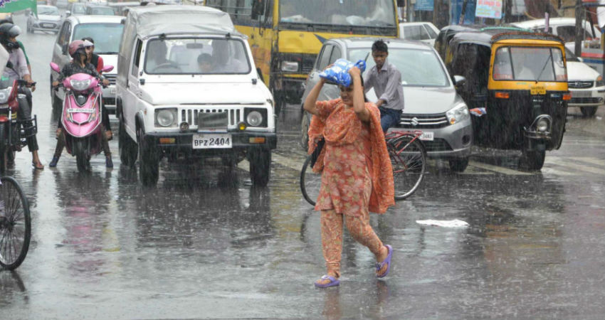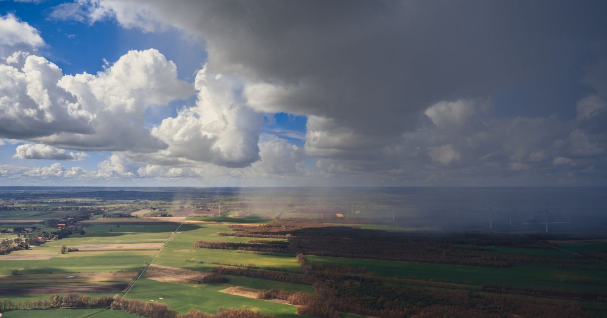
The low-pressure area is persisting over Southeast Uttar Pradesh and North Bihar with a support cyclonic circulation up to mid-levels. This weather system is likely to shift eastward gradually along the foothills and keep active monsoon conditions in the next 3-4 days. The adjacent parts of North Bengal, sub-Himalayan West Bengal, and Sikkim will also receive heavy rains during this period.
Remnant of an earlier low pressure over Uttar Pradesh has been lingering over the region for the last 3-4 days. Strong southwesterly flow over the Western Himalayas and Uttrakhand region is blocking its movement further and is rather steering it eastward along the foothills of Uttar Pradesh and Bihar, albeit slowly. A cyclonic circulation persisting over Bangladesh is supporting the sustenance of this system and helping in keeping the monsoon active over east and northeast India.
Monsoon rains, which otherwise may take a dip over most other parts of the country, foothills of East Uttar Pradesh and Bihar, along with West Bengal, Sikkim, and Northeast India will carry the flag of monsoon to drench these parts with adequate rain and thundershowers. Places in Uttar Pradesh and Bihar to receive good rains are likely to be: Bahraich, Balrampur, Maharajganj, Kushinagar, Deoria, East & West Champaran, Motihari, Sitamarhi, Madhubani, Madhepura, Supaul, Araria, Purnea, Kishanganj, Katihar, and Bhagalpur. These rains will spill over to North Bengal and Sikkim.
Rain and thundershowers are expected with this low pressure till 25th June. Thereafter, the weather system though will weaken, but the trough line is likely to shift close to the foothills. Such a situation may reduce the monsoon activity elsewhere, but the foothills of Bihar and Northeast India are expected to have an intense spell of rain and thundershower between 26th and 30th June. Invariably, a fresh system in the Bay of Bengal brings this trough line southward to revive the monsoon rains over other parts of the country.


