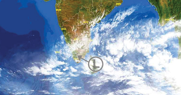
The low pressure area formed in Bay of Bengal continues to move in westerly direction. This system has already given moderate to heavy rainfall over Andaman and Nicobar Islands during the initial days of its formation.
At present, this weather system is marked over Southwest Bay of Bengal and adjoining Indian Ocean off Sri Lanka Coast. It is expected to continue moving in west direction toward Sri Lanka and adjoining Tamil Nadu Coast.
[yuzo_related]
Under the influence of this system, moderate to heavy rains will continue over Sri Lanka during the next two days. In fact, few extremely heavy spells are also likely over the region, leading to possible flash floods and landslides.

As per Skymet Weather, south coastal parts of Tamil Nadu such as Nagapattinam, Karaikal, Pamban, Tondi and Adirampattinam will witness moderate to heavy showers during the next two to three days. The rest of Tamil Nadu including Chennai will observe light to moderate rain and thundershowers. During this time period, days will remain humid with cloudy sky conditions and pleasant nights.
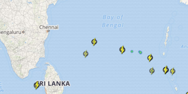
Click the image above to see the live lightning and thunderstorm across India
In wake of this system, southern parts of Kerala are also expected to record moderate to heavy showers during the next two to three days. These on and off rains will continue till November 29 over many places of Tamil Nadu as well as Kerala.
The rain belt is also anticipated to cover parts of South Interior Karnataka including Bengaluru. The region will witness light intensity showers.
This is the seasonal weather over the region as Northeast Monsoon is active over Tamil Nadu and Kerala due to the presence of the low pressure in Bay of Bengal.
Any information taken from here should be credited to skymetweather.com


