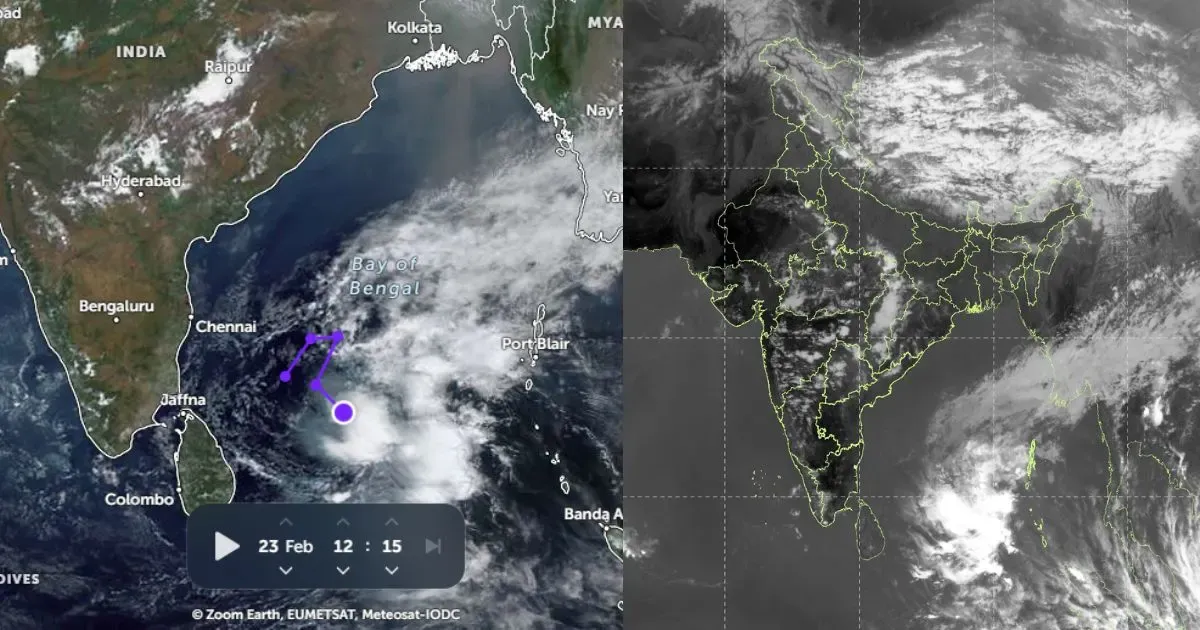
 The low pressure system that is prevalent in Arabian Sea has now intensified into a depression. According to Skymet Meteorology Division in India, the system is expected to further intensify into a deep depression in next 24 hours and further into a cyclonic storm.
At present, the system is over west central and adjoining southwest Arabian Sea and is approximately 1400 km southwest of Mumbai.
As a result entire Maharashtra will witness light to moderate rainfall during the next 24-48 hours. As per Skymet Meteorology Division in India, the maximum temperature will drop and hover around 30°C.
Further, the system is likely to move in west northwest direction and reach southern parts of Oman. After reaching Oman coast, the system may re-curve in northerly to northwesterly direction due to the upper level diversion. Post this, it will reach somewhere between Karachi, Pakistan and Kandla coast in Gujarat by October 29.
This system then might bring rainfall over most parts of Gujarat, western parts of Rajasthan, south Punjab and even south Haryana by October 30.
Earlier this month on October 12, a severe cyclonic storm Hudhud had battered the east coast of India. It had made landfall in Visakhapatnam with maximum sustained winds of upto 190 kmph. Hudhud had triggered massive rainfall in Andhra Pradesh and Odisha.


