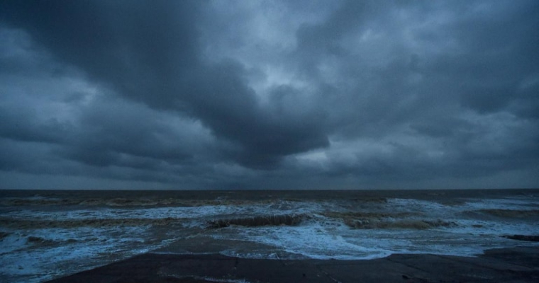
As anticipated, a low pressure area has formed over Andaman Sea and adjoining Bay of Bengal (BoB). It is likely to intensify in to a depression in the next 24hr and move northwestward over central parts of BoB. Fair amount of chance thereafter for this weather system to intensify in to a cyclone, maiden one of this season, by early hours of 03rdDecember.
Coastline of North Andhra Pradesh, Odisha and neighboring West Bengal face threat of inclement weather conditions commencing evening hours on the same day. Weather conditions will remain intense and furious for the subsequent 24hr.
Storm will have the privilege to sail over deep sea, under favorable environmental conditions. Sea surface temperature of 30°C over the area of influence of the storm will be adequate to generate heat potential in excess of 100Kilo Joule per sq.cm.
Low to moderate wind shear is unlikely to choke growth of the system. It could become a severe cyclonic storm before reaching landfall stage. Coastline of North Andhra Pradesh and South Odisha face the hazardous risk of getting battered by the storm fury.
The storm will be named ‘Jawad’ as earlier proposed by Saudi Arabia. During the course of its sea travel, the cyclone center will reach in the close proximity of ‘ridge’ line. Steering current of strong winds in the higher levels maneuver and control the speed and direction of storm at that stage. This factor leads to a little ambiguity for an early diagnosis of storm. Therefore, it is prudent to wait for making accurate prediction, till the cyclone matures over the ocean.
In the recent past, there have been 2 instances wherein, the eastern coastline had a close shave with such monstrous storms, at this time of the season. Last year, cyclone ‘Burevi’ ( 30Nov-06Dec 2020) thrashed Sri Lanka and threatened Tamil Nadu. Mercifully, it kept meandering and weakening over Gulf of Mannar, short of Tamil Nadu coast. Finally, it did not make any landfall and got filled up over the sea itself.
The 2nd storm of this kind was ‘Vardah’ which came up over BoB, with a life span of one week between 06-13Dec 2016. Vardah became a very severe cyclonic storm but weakened before making a landfall. It crossed the coast as depression near Chennai on 12Dec.
Such storms at this time of the year are loaded with all types of combinations. The storms do have a track record of recurving and missing the coastline by whisker and some other few ‘graze’ the coast and move parallelly till the end. A fair number of cyclones do weaken over the sea itself or before making landfall, depending upon the temperature profile. There are also few freaky storms which manage to get through the barricade of coastline anywhere from Tamil Nadu to West Bengal. At this stage, keep the fingers crossed, for authentic prediction a little later.


