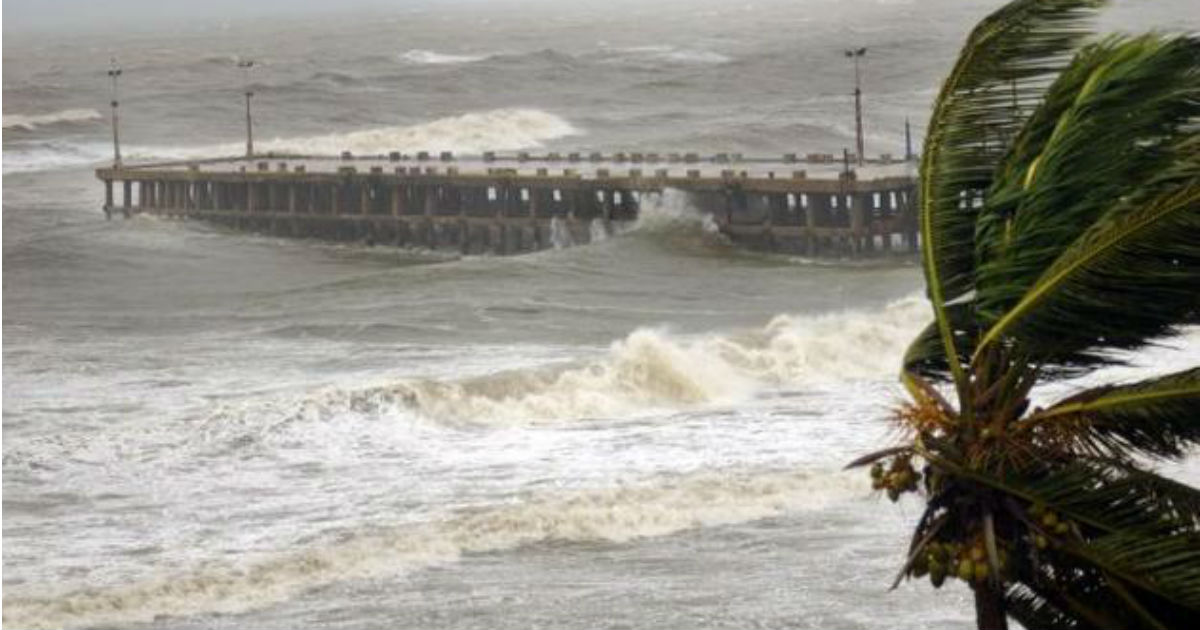
The cyclonic circulation over Southeast Arabian Sea and adjoining Lakshadweep area intensified into a low pressure area over the same area on early Thursday afternoon. Little early than expected, active Monsoon surge fastened the process of strengthening the maiden weather system of October.
According to Skymet Weather, the system is likely to move in north-northwest direction along the Indian Coast. However, its chances of further intensification of this low pressure area are few. It is likely to sustain the strength of a low pressure area for the next 2-3 days, and would start weakening around October 20.
With this, we can now expect rain activity to pick up pace all along the West Coast. Beginning with Kerala and Karnataka, the coastal areas of both the neighbouring states are likely to record moderate to heavy rains during the next 48 hours. Lakshadweep would also be recording heavy rains during the next 24 hours.
By late hours of October 18, the system would reach Karnataka and the peripherals of the system would start impacting the weather over Konkan & Goa simultaneously. By October 19, the system would be travelling along the Maharashtra coast. Thus, we can expect moderate rains with few intense spells to lash Mumbai and Pune from October 18-20.
Image Credit: NDTV
Any information taken from here should be credited to skymetweather.com


