The northwestern plains of the country have been witnessing an elongated dry spell as the winter rains have remained on the lower side for the region. The plains of Northwest India have not witnessed any rains in the month of January and the last rainy spells observed by the region was about a month ago, i.e., on December 11 and 12.
However, the wait for rains will now get over soon as some rains are predicted to occur in parts of Northwest India.
As per Skymet Weather, the Western Disturbance is now over Afghanistan and adjoining Iran and an associated cyclonic circulation extends up to mid-tropospheric level. This Western Disturbance would interact with an easterly trough over the northern plains of the country by tomorrow, thereby resulting in scattered rains over the plains of Northwest India.
[yuzo_related]
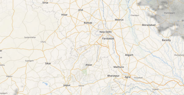
However, the intensity and spread of the rains are likely to be much more over the states of Rajasthan,Delhi, parts of Haryana and Uttar Pradesh. On the contrary, Punjab is expected to receive isolated rainfall of lesser intensity.
Click here to get the live lightning and thunderstorm status across Northwest India
On account of the scattered rainfall activity, the minimum temperatures over all these areas are expected to rise by 2-3 degrees and maximums are likely to fall significantly due to cloud cover and scattered rains.
However, this weather system will be a fast-moving weather system. This means that this system will travel from Rajasthan to Uttar Pradesh within 24 hours. Therefore, the duration of the rain will be short lived over all these places but will give much-needed relief from the pollution levels over Delhi and NCR region.
Due to these rains, the pollutants will get washed away leading to cleaner air. Soil moisture will also get restored.
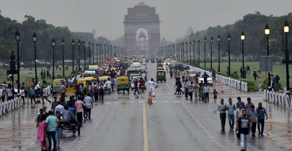
ImageCredit: The Indian Express
Any information taken from here should be credited to skymetweather.com


