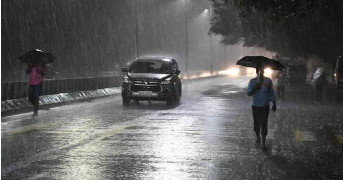
After a brief break, heavyChennai rainsare back in the town. After lashing the state capital on Sunday, Monday has also made a rainy start. Intense clouding can be seen over the entire city and nearby areas, with moderate to heavy rains in parts.
Looking at the radar, it seems that rains are in no mood to stop. According to weathermen, intense rains are likely to continue overChennaithroughput the day, with short breaks in between. These rains have also kept the mercury under check that is hovering around 27 degree Celsius. It is likely to settle below normal only.
 Click here to check the live lightning and rains status across Chennai
All thanks to the activeNortheast Monsoon, courtesy likely low pressure area brewing in Southwest Bay of Bengal. The system is presently seen as a cyclonic circulation in Southwest Bay of Bengal, off the Tamil Nadu coast. Travelling in favorable weather conditions, the system is likely to induce a low pressure area over the same area during the next 24 hours. Besides this, a trough of low is running along the East Coast.
With this, intensity of rain in Chennai is likely to increase slightly today, wherein the city would see moderate to heavy rains. Further rise in rains are likely on October 22 and Chennai might even see isolated very heavy rains.
In span of 24 hours from 8:30 am on Sunday, Minambakkam Observatory recorded 65 mm of rains, while Nungambakkam Observatory received 40 mm of rains.
So far, Chennai has recorded 195 mm of rains in comparison to the monthly average of 315 mm. With some good rains in offing over the next two days, we hope the city to surpass the target with ease.
October is considered to be second rainiest month for Chennai, preceded by the month of November which is the rainiest month with average rainfall of 374.4 mm. The city records over 60% of its annual rainfall during the Northeast Monsoon that spans from October to December.
Image Credit: NDTV
Any information taken from here should be credited to skymetweather.com


