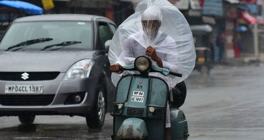
In the last 24 hours, the northern parts ofMadhya Pradeshhave remained mostly dry and very warm. While the southern areas have received light to moderate rain and thundershowers. However, good rains have been recorded in Southwest Madhya Pradesh at isolated places, whereas scattered light to moderate rains were reported in the central parts of the state.
According to the data available with Skymet, Mandla has recorded 50 mm of rainfall, followed byUjjain20 mm, Rewa 19.4 mm andSatna16.3 mm of rainfall, in the last 24 hours, from 8:30 am on Saturday.
All these weather conditions were due to the Cyclonic Circulation over Vidarbha and adjoining region. Another Cyclonic Circulation was over North Madhya Maharashtra and adjoining Gujarat in the lower levels. Moreover, the axis of the Monsoon trough was extending across thenorthern parts of Madhya Pradesh.
These weather systems have restricted the inflow of moisture over the southern and central parts of the state. Thus, these regions will record scattered light to moderate rains only, while the northern areas will experience mainly dry and warm weather until July 23. Thereafter, due to the movement of a Cyclonic Circulation towards Odisha and Chhattisgarh region, the rainfall activities will increase over Madhya Pradesh and the entire state will get the touch of good Monsoon showers by then.
Image Credits – The Weather Channel
Any information taken from here should be credited to Skymet Weather


