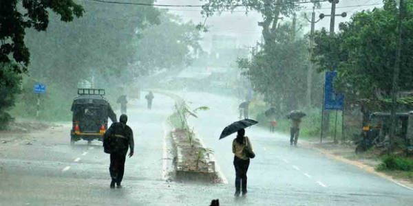
 The coastal districts of Andhra Pradesh have been receiving on and off pre Monsoon activities for the past many days. The intensity of these showers increased significantly during the last 24 hours. Thus, moderate to heavy rains we were recorded in the coastal districts of the state.
[yuzo_related]
In the last 24 hours from 8: 30 am on Tuesday Kakinada recorded 56 mm of rains, Visakhapatnam 29 mm, Tuni 16 mm, Kalingapatnam 14 mm of rains.
These rains were due to a trough which was extending across Andhra Pradesh. In fact, humid southerly winds were inducing moisture over the coastal districts of the state. Now, this trough has shifted to the west and is passing through Telangana. The humid winds are still feeding moisture from Bay of Bengal over the state.
As per Skymet Weather, the intensity of showers is expected to reduce. However, scattered rain and thundershower activities will continue to occur over North Coastal Andhra Pradesh during the next 24 hours.
Coastal stations such as Visakhapatnam, Srikakulam, and Tuni are likely to record pre Monsoon rains. In fact, the remaining coastal regions may also observe light activities. However, the interior districts will almost remain dry however thunderstorm or thunder development cannot be ruled out.
In Pre Monsoon rains the most probable time of the occurrence of rain is usually during late afternoon and evening hours. Thus, rains will continue to occur during that time. The sky conditions will remain partly cloudy to cloudy and the weather conditions will be warm and humid.
IMAGE CREDIT: Odishatv.in
Any information taken from here should be credited to skymetweather.com


