Planning to spend some days in the lap of scenic Himalayas? Hold on, next few days can be dangerous as indicated by the weather models.
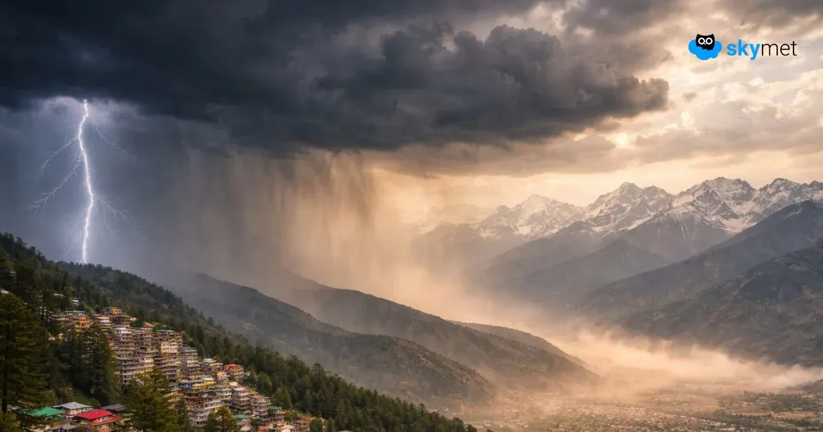
As reiterated by Skymet Weather, a fresh Western Disturbance is likely to affect hills of North India from Thursday evening. The system is presently marked over North Pakistan and adjoining areas.
In wake of this,Jammu and Kashmirhas already witnessed some thunderstorms at isolated places on Wednesday night.
As have been reiterated by Skymet, even moderate showers can lead to flash floods, landslides and cloudburst. All thanks to the complexity of the terrain in the region. Snowfall will be confined to the higher reaches, where avalanches cannot be ruled out.
Also read, Heavy rain in Jammu and Kashmir soon, possible flood alert
The Western Disturbance is touted to be an active one and is likely to give some good rainfall over the hills of Jammu and Kashmir,Himachal PradeshandUttarakhandduring the next 2-3 days.
According to Skymet Weather, scattered rain and snow are expected to commence over Jammu and Kashmir from the evening of March 11. The activity will gradually increase and we can expect some heavy to very heavy spell of snow and rain over both the states. However, snowfall will be confined to places lying above 10, 000 feet above the seas level.
By March 12, the system will also start affecting Uttrakhand. This will be a prolonged spell of rain and snow that is expected to continue till March 14.
The spread and intensity of the weather activity will reduce by March 14 as the Western Disturbance will move away from the region. However, remnants of the system will continue to give some light rain over few places.
Thereafter a short respite is expected as another Western Disturbance will start affecting the region by March 16 or 17.
Image credit: www.oneindia.com