Konkan & Goa brace for heavy rains; moderate for coastal Karnataka and Kerala

July 15, 2017 6:08 PM|

Rain in Kerala

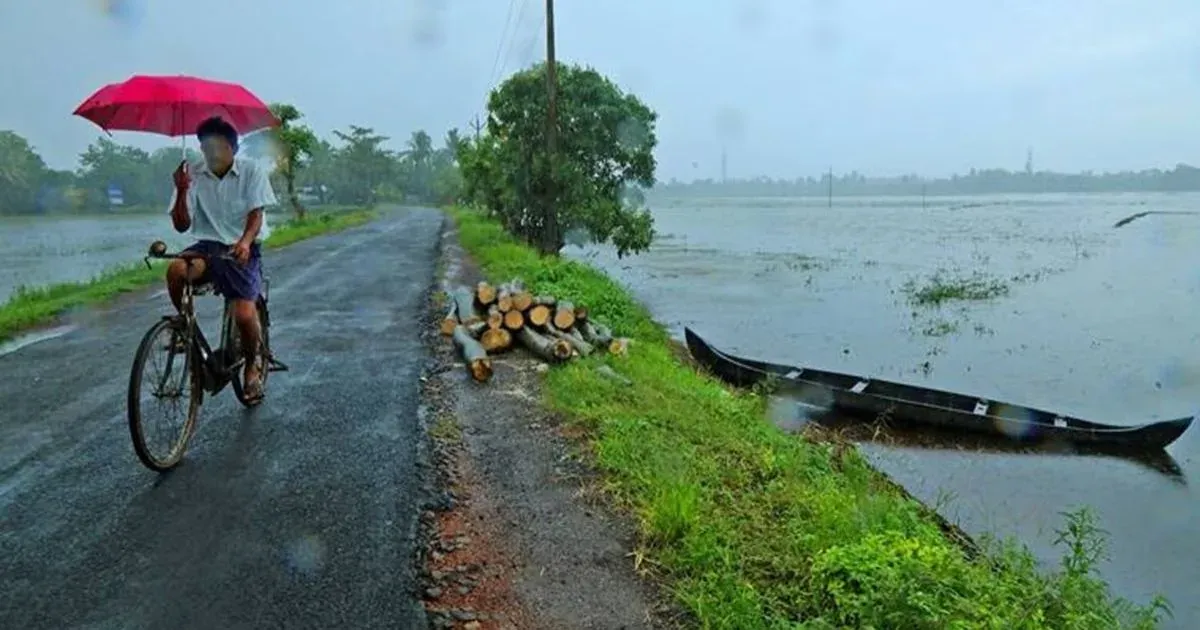
Southwest Monsoon has been gracing the West Coast of India with good rains since July began. Though the intensity of rains reduced in the last couple of days which was all due to the weakening of the offshore trough running along the West Coast.

However, the last 24 hours were a complete U-turn for the West Coastal regions of the country wherein most coastal areas particularly the Konkan & Goa region recorded some really heavy rains on their name. In a span of 24 hours from 08:30 am on Friday, Harnai recorded a whopping three-digit rainfall to the tune of 111 mm followed byMumbaithat witnessed 68 mm of rains, Vengurla 30 mm,Dahanu31 mm, Veraval 16 mm, Porbandar 11 mm, and Ratnagiri recorded light traces of 13 mm.

lightning in west coast

Click the image above to see the live lightning and thunderstorm across West Coast

Apart from the Konkan & Goa region, coastal Karnataka and Kerala also recorded some moderate showers. During the similar time frame as mentioned above,Mangalorewitnessed 42 mm of rains,Honavar17.8 mm, Karwar 11 mm, Madikeri 11 mm, and Kozhikode recorded 10 mm of rains.

[yuzo_related]

Now, as the offshore trough running along the West Coast is activated and so is the Monsoon surge, rains along the West Coast is likely to continue with the good rains. Though the intensity of rains is likely to be more over Konkan & Goa regions. Thus the Konkan & Goa region can expect moderate rains with some heavy spells as well.

While, coastal Karnataka and Kerala can brace for some moderate showers making way.

ImageCredit: youtube

Any information taken from here should be credited to skymetweather.com

Similar Articles

thumbnail image
March 20, Today Marks The Spring Equinox: Day-Night Duration Nearly Equal

The official transition from winter to spring, known as the SPRING EQUINOX, occurs today! It’s time when the Sun crosses the celestial equator precisely at 2:31 PM, delivering warmer, longer days to the Northern HemiSphere. As autumn arrives, the South enjoys colder evenings.

posted on:
thumbnail image
आज सूर्य करेगा भूमध्य रेखा पार, बसंत ऋतु की शुरुआत, दिन-रात की अवधि लगभग बराबर

आज, 20 मार्च 2025, बसंत विषुव (Spring Equinox 2025) का दिन है। सूर्य भूमध्य रेखा को पार करेगा, दिन बड़े और गर्म होंगे। उत्तर गोलार्ध में बसंत ऋतु की शुरुआत होगी, दक्षिण गोलार्ध में शरद ऋतु का आगमन होगा। वहीं, सितंबर में यह खगोलीय घटना फिर से होगी।

posted on:
thumbnail image
गर्मी का दायरा बढ़ा! ओडिशा, महाराष्ट्र, तेलंगाना और रायलसीमा में 40°C के पार तापमान, राहत की उम्मीद

देश में समय से पहले गर्मी असर बढ़ रहा है। ओडिशा, महाराष्ट्र, तेलंगाना, आंध्र प्रदेश में अभी तापमान से 40°C से ऊपर पहुंच गया है, जिस कारण इन राज्यों में भीषण गर्मी हो रही है। फरवरी 2025, पिछले 125 वर्षों में सबसे गर्म महीना रहा है। कई जगहों पर सामान्य से 6.4°C तक ज्यादा तापमान रिकॉर्ड हुआ है।

posted on:
thumbnail image
दिल्ली में बढ़ेगी गर्मी! शुष्क और तपता रहेगा वीकेंड, बारिश की संभावना हुई कम

दिल्ली में गर्मी बढ़ रही है, पिछले 3 दिनों में तापमान 4°C बढ़ा है। आज अधिकतम 34-35°C, न्यूनतम 17°C तक रह सकता है। मार्च अब तक लगभग शुष्क बना हुआ है, सिर्फ 2mm बारिश दर्ज हुई है। 26-28 मार्च को तापमान 40°C के करीब पहुंचने की संभावना है। वहीं,पश्चिमी विक्षोभ से मैदानी इलाकों में बारिश की संभावना नहीं है।

posted on: