During Monsoon, pockets of intense weather activity become the focus. Moreover, the beginning of July had a Monsoon system which caused deluge, wherein many places of Madhya Pradesh had extremely heavy rains. More than three digit rainfall in 24 hours was seen over Khandwa, Damoh, Jabalpur, Bhopal, Narsingpur which also resulted in flood like situation in many parts.
Next scenario which came were thebreak Monsoon conditionswhich have just come to an end. These conditions resulted infloods in Uttar Pradesh, Bihar, Assam making it the focus area during Monsoon.Foothills and Northeastsaw heavy to extremely rains including Lakhimpur, Pasighat, Bareilly, Gorakhpur, Bahraich, Supaul, Motihari, Madhubani, Forbesganj, and even Patna.
Now, the conditions have eased over there and while rains have stopped but water bodies through catchment areas and rivers keep responding even after the rains stop which is the condition now.
Now the gear is shifting to thestate of Kerala. A system in the form of a Cyclonic Circulation has already formed in the North Bay of Bengal and the system will induce a Low Pressure Area. Along with this, an off shore trough is running Konkan to Kerala across Karnataka.
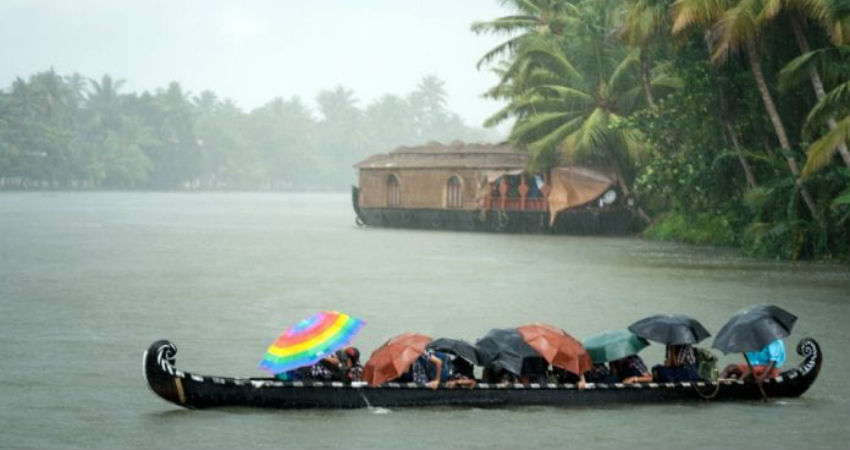
The Low Pressure Area will infuse a fresh surge which also activate the off shore trough which will result in excessive rains over Kerala from today until July 22, making it a 5-6 days long activity resulting in flooding rains. Thus, residents need to be on alert for these upcoming heavy to extremely heavy rainfall.
Initially, the southern half will be in limelight includingThiruvananthapuram, Kollam,Alappuzha, Kottayam,Kochi, Idukki,Thrissur. Thereafter, rains will shift northwards including Palakkad,Kozhikode, Mallapuram,Wayanad, Kasargpde, andKannur.
Image Credit: The Federal
Please Note: Any information picked from here must be attributed to skymetweather.com


