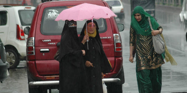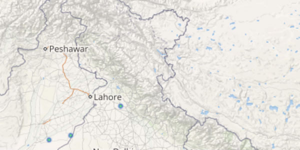
On and off feeble Western Disturbances have been giving good rains over the hilly states of Jammu and Kashmir, Himachal Pradesh and Uttarakhand.
The last 24 hours were also no different. In fact, many places received good amount of rainfall.
[yuzo_related]
In a span of 24 hours from 08:30 am on Sunday, Nahan 72 mm, Katra 51 mm, Jammu 40 mm, Dharamsala 37 mm, Uttarkashi 36 mm, Mukteshwar 17 mm, Manali 10 mm. There were more parts that recorded light rain activity such as Srinagar, Kupwara, Gulmarg, Tehri and Kullu.
At present, Jammu and Kashmir and Uttarakhand are rain surplus regions by 65% and 22%, respectively. While Himachal Pradesh is rain deficient by 6%.
Take a look at the live lightning and thunderstorm status across North India
Skymet Weather expects light to moderate rains to continue over the hilly states for the next 2 days. Although the intensity of these rains may vary from light to moderate but one or two heavy spells cannot be ruled out. However, extremely heavy spells are not on the cards for these states for at least next 4 to 5 days.
The reason could be attributed to the absence of any significant weather system such as an active Western disturbance or cyclonic circulation. Besides this, the trough is also passing from Rajasthan towards Bay of Bengal across the central region.
Image Credit: sargaram.com
Any information taken from here should be credited to skymetweather.com


