Karnataka to continue receiving heavy rains, flash floods likely  

July 20, 2019 8:56 AM|

Rain in Karnataka

The state ofKarnataka has received heavy to very heavy rainsduring the last 24 hours. Particularly, the city of Honavar has received 111 mm until 5:30 am today morning and Mangalore received 85 mm. Moderate to heavy rains occurred over many other places also.

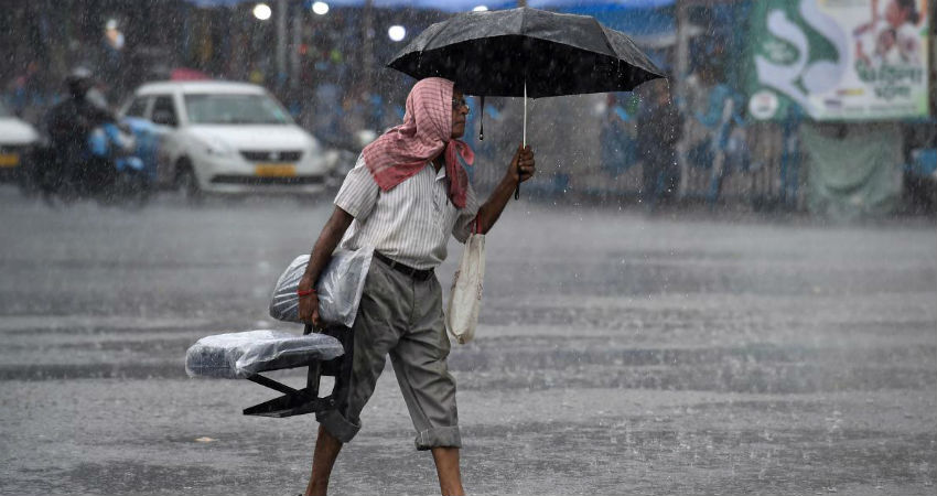
Now, the Monsoon surge has activated over the West Coast over Kerala, South Konkan and Goa and Coastal Karnataka. Therefore, we expect moderate to heavy rains with a few very heavy spells to continue over Coastal Karnataka for at least the next three to four days. Simultaneously, South Interior Karnataka, as well as North Interior Karnataka, will also receive light to moderate rains with isolated heavy spells.

This Monsoon surge has been activated due to the formation of a Cyclonic Circulation which is up to mid-tropospheric levels over Odisha and adjoining areas.

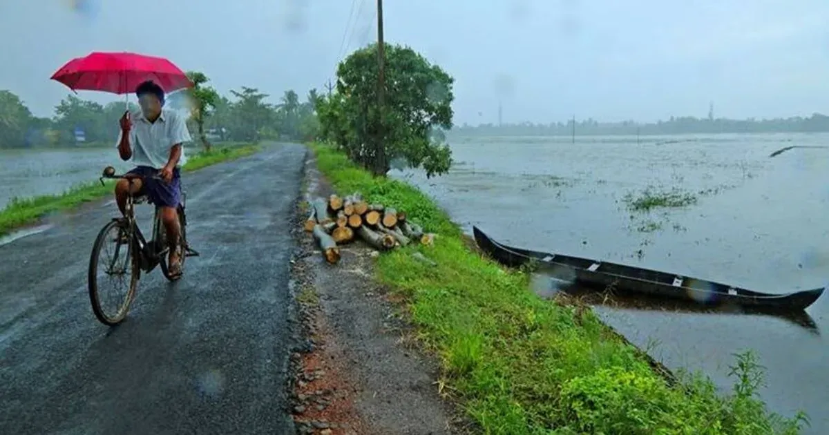
These heavy rains may trigger flash floods and waterlogging over many places of Karnataka in the coming days. Coastal Karnataka is already rain surplus at present. The surplus will increase further as these heavy rains and thundershower activities will continue to lash coastal areas for at least next three to four days. Skymet extends caution against floods over coastal districts of Karnataka in the coming days.

Image Credits– Pinterest

Any information taken from here should be credited to Skymet Weather

Similar Articles

thumbnail image
March 20, Today Marks The Spring Equinox: Day-Night Duration Nearly Equal

The official transition from winter to spring, known as the SPRING EQUINOX, occurs today! It’s time when the Sun crosses the celestial equator precisely at 2:31 PM, delivering warmer, longer days to the Northern HemiSphere. As autumn arrives, the South enjoys colder evenings.

posted on:
thumbnail image
आज सूर्य करेगा भूमध्य रेखा पार, बसंत ऋतु की शुरुआत, दिन-रात की अवधि लगभग बराबर

आज, 20 मार्च 2025, बसंत विषुव (Spring Equinox 2025) का दिन है। सूर्य भूमध्य रेखा को पार करेगा, दिन बड़े और गर्म होंगे। उत्तर गोलार्ध में बसंत ऋतु की शुरुआत होगी, दक्षिण गोलार्ध में शरद ऋतु का आगमन होगा। वहीं, सितंबर में यह खगोलीय घटना फिर से होगी।

posted on:
thumbnail image
गर्मी का दायरा बढ़ा! ओडिशा, महाराष्ट्र, तेलंगाना और रायलसीमा में 40°C के पार तापमान, राहत की उम्मीद

देश में समय से पहले गर्मी असर बढ़ रहा है। ओडिशा, महाराष्ट्र, तेलंगाना, आंध्र प्रदेश में अभी तापमान से 40°C से ऊपर पहुंच गया है, जिस कारण इन राज्यों में भीषण गर्मी हो रही है। फरवरी 2025, पिछले 125 वर्षों में सबसे गर्म महीना रहा है। कई जगहों पर सामान्य से 6.4°C तक ज्यादा तापमान रिकॉर्ड हुआ है।

posted on:
thumbnail image
दिल्ली में बढ़ेगी गर्मी! शुष्क और तपता रहेगा वीकेंड, बारिश की संभावना हुई कम

दिल्ली में गर्मी बढ़ रही है, पिछले 3 दिनों में तापमान 4°C बढ़ा है। आज अधिकतम 34-35°C, न्यूनतम 17°C तक रह सकता है। मार्च अब तक लगभग शुष्क बना हुआ है, सिर्फ 2mm बारिश दर्ज हुई है। 26-28 मार्च को तापमान 40°C के करीब पहुंचने की संभावना है। वहीं,पश्चिमी विक्षोभ से मैदानी इलाकों में बारिश की संभावना नहीं है।

posted on: