
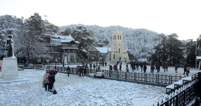
The weather in the hilly regions of Jammu and Kashmir, Himachal Pradesh and Uttarakhand has improved in the last 48 hours after recording good rain and snowfall activities. Multiple instances of road blockages and landslides were also reported in major tourist spots. The weather system (Western Disturbance) has now moved away eastwards.
However, this break is short-lived as a fresh Western Disturbance is about to approach the Western Himalayas by the night of January 11. Scattered rain and thundershower activities will commence over Jammu and Kashmir as well as Ladakh from the night of January 11. One or two places might even receive snowfall. By January 12 most of the places in the Western Himalayas will start receiving rain and snow. This is when some intense activity is likely over Jammu and Kashmir, Ladakh, Himachal Pradesh and Uttarakhand.
Tourists planning a vacation to the hills are advised to take necessary precaution keeping the harsh weather in mind. Similar activity will continue until the morning of January 14.
Not just the hills, these activities will affect the northern plains as well in the form of rain and thundershower activities.
Just after a short break, yet another Western Disturbance is expected to affect the Northern Himalayas around January 15 and 16. Again, rain and snowfall activities will intensify.
Image Credits – Amar Ujala
Any information taken from here should be credited to Skymet Weather
