The eastern part of Rajasthan has started witnessing light intermittent rains in the last 24 hours from 8:30 am on Monday. The rains are due to the formation of a Cyclonic Circulation over central parts of Rajasthan and a trough extending up to southeast Uttar Pradesh. Another branch from the circulation is going up to northeast Arabian Sea across Gujarat.
We expect scattered light to moderate rains to continue over many parts of the state especially over West and Central Rajasthan. Eventually, the rain is expected to increase over East Rajasthan and northern parts of the state.
Rain in Northwest India is excess by 62% as of now. Most of the meteorological divisions in Northwest India comprising of Punjab, Haryana, the national territory Delhi, West Uttar Pradesh and West Rajasthan are either normal, excess or largely excess for this winter season. As of now West Rajasthan is normal with a surplus of 1%. It is only East Rajasthan which stands out as an exception and is still deficient by 47%.
Places like Jaipur, Bhilwara, Bundi, Kota, Chittorgarh, Rajsamand, Pali, Ajmer, Tonk, Sawai Madhopur, Bharatpur,Alwar, Sri Ganganagar, Hanumangarh,Churuand Jhunjhunu would witness light to moderate rain and thundershower activities anytime soon. Whereas, Jodhpur and Jaisalmer might witness isolated rains. These intermittent rains would be on a move for next 24 hours. Thereafter, weather would clear up and will be dry. The trough would then further shift in northeast direction moving away from Rajasthan. The rain belt will then cover the foothills of Uttar Pradesh.
Chances of isolated heavy rains can not be ruled out in isolated pockets of Rajasthan during this period.
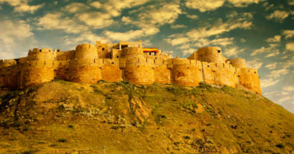
Image Credit: The Golden History of Jaisalmer
Please Note: Any information picked from here must be attributed to skymetweather.com


