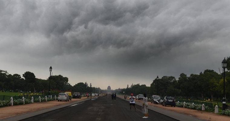
An increase in maximum and minimum temperatures is being recorded in North-West India since last few days. But during the next 24 hours, there is a possibility of cloudy weather in some parts of Punjab, Haryana, Delhi, Uttar Pradesh, Rajasthan, and Madhya Pradesh. Although at most places these clouds will be of middle and high altitude, there is a possibility of light rain at one or two places in Punjab, Haryana, North Rajasthan, and Southwestern Uttar Pradesh. These activities will be for a short time and will be light, due to which there is no possibility of damage to the crops. Currently, harvesting is going on in many states including North, Northwest and Central India. If the rain had been heavy, crops would have been damaged.
A Western Disturbance is passing through the mountains, due to its effect a light cyclonic circulation has formed over northwest Rajasthan and its surrounding areas. By March 25, the Western Disturbance will move away eastwards and the area of cyclonic winds will almost end. The clouds will start reducing from the sky and the weather will become clear once again. Today, on March 24, the maximum temperatures may drop slightly in North-West India. But from March 25 the temperatures will start rising and the days will once again become very hot and sunny.
Pre-monsoon activities increase significantly in northwest India from late March to the first fortnight of June. So far, intense pre-monsoon activities have not been seen in North India because the temperatures have not yet been very high. In the month of April, when the day temperature will reach 40 degrees, the possibility of rain and occasional dust storms and hailstorms conditions will increase.
Image Credit: hindustantimes.com


