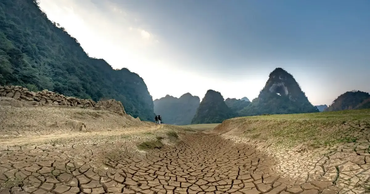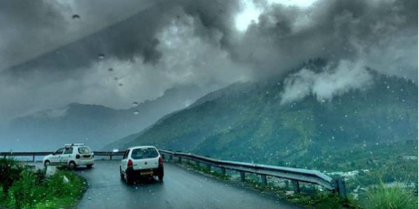
Good rains have been occurring over the Western Himalayas since the last week of July. In fact, for the last many days, we have seen many incidents of cloudbursts, flash floods and landslides over parts of Uttarakhand, Himachal Pradesh and Jammu & Kashmir.
One instance of cloudburst was reported in Leh, in Ladakh division of Jammu and Kashmir yesterday that triggered flash floods in most parts and posed loss to several properties. Though the loss of human life was reported.
On the last day as well, scattered rains occurred over the hilly states of North India, with the intensity being moreover Himachal Pradesh. On the other hand, Jammu & Kashmir and Uttarakhand observed comparatively lesser intense rains.
In the last 24 hours, from 08:30 am on Thursday, Dharamsala recorded 62 mm of rains, Una 40 mm,Katra35 mm,Dehradun21 mm,Jammu20 mm,Haridwar16 mm, Bilaspur 13 mm,Shimla11 mm,Manali8 mm, and Mandi witnessed 4 mm of rains.
The intensity of rains has decreased marginally over the hills of North India and is expected to remain so for the next 24 hours. Thereafter, the axis of Monsoon trough would once again resume its northward journey.
This trough would then shift towards the foothills of Himalayas by August 11, resulting in intense rain and thundershowers to occur over the hills once again. These moderate to heavy rains are expected to continue until August 13.
Skymet Weather expects that during that time, many areas may receive heavy rains that may cause incidents of landslides, mudslides, and flash floods. The possibility of incidences of one odd cloudburst cannot be ruled out as well.
Hence the next three days are assumed to be crucial for the hills of North India and thus utmost precaution is advisable to be taken by the authorities and masses.
Image Credit: Instagram
Any information taken from here should be credited to skymetweather.com