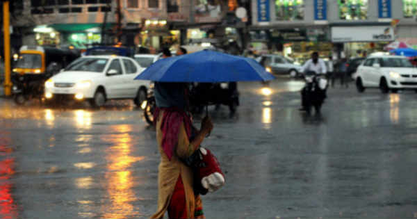
Due to anti-cyclonic flow of winds over North Andhra Pradesh and adjoining Odisha coast, moisture incursion is taking place over the central parts of the country. Along with this, a trough is expected to form which would extend from Uttar Pradesh up till Maharashtra across central parts of the state in coming 24 hours. Hence, leading to increase in clouding over the area.
The northern and adjoining western parts of the state like Gwalior, Guna and Shivpuri might get to witness isolated light rain activities anytime soon. As per weathermen, the system would strengthen and further move eastward. With this, the rain activity is likely to intensify in the coming 24-36 hours. Mainly rain and thundershower activities with isolated moderate spells is expected. Moderate lightning strikes and squally winds might occur at isolated places over the region, mainly over the central and eastern parts of the state. The day and night temperatures on March 2 would rise whereas on March 3, the day temperatures would drop gradually over many places.
The largely affected areas because of these rains would be Hoshangabad, Betul, Chhindwara, Jabalpur, Sagar, Satna, Umaria, Khajuraho, Gwalior and Guna. Whereas, isolated light rain activities would be a sight over Dhara, Ujjain, Ratlam and Indore.
Image Credit: HuffPost India
Please Note: Any information picked from here must be attributed to skymetweather.com


