
As the depression is moving across Central India, rainfall activity has reduced over East Uttar Pradesh, Bihar, adjoining parts of Jharkhand and Gangetic West Bengal with a decreased rain intensity.
In the last 24 hours, Asansol in West Bengal received 4mm rain, Burdwan 3 mm, Diamond Harbour 8 mm while most parts didn't show any significant rainfall activity.
At present, the depression has weakened into a well-marked low-pressure area and lies over North Madhya Pradesh and adjoining areas. The system is likely to become less marked during the next 24 hours, as a result, the monsoon trough is expected to shift towards North again.
A trough is expected to develop from North Bihar to Gangetic West Bengal as an upper air system. Due to which, increased rainfall activity is likely over Bihar, Jharkhand, North Odisha and western parts of Gangetic West Bengal. Adjoining Uttar Pradesh is also likely to receive few spells of light rain. Rainfall activity will increase over the hills thereafter.
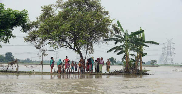
During the next 24 hours, moderate to heavy rains are expected over extreme northern parts of Bihar, Jharkhand and adjoining places of West Bengal.
Places like Supaul, Araria, Purnia, Jalpaiguri, Cooch Behar may receive very heavy rainfall at few parts. Moderate lightning strikes may also occur over the region.
If we look at the rainfall figures, as of yesterday; in East Uttar Pradesh, seasonal rainfall is deficient by 3%, Jharkhand at 19%, Bihar 16%, whereas, Odisha is surplus by 17%.
Image Credits – skymetweather.com
Any information taken from here should be credited to Skymet Weather


