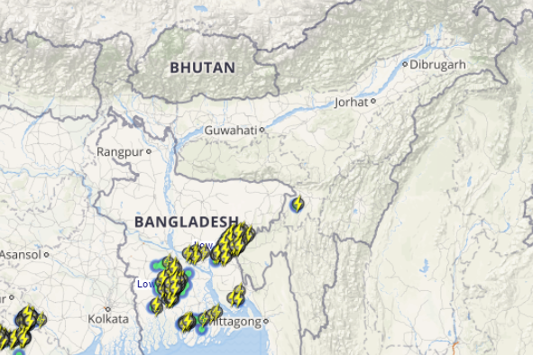
Southwest Monsoon has made a timely onset over Northeast India. In fact, heavy to extremely heavy Monsoon rains have been witnessed in the last 24 hours.
Though Monsoon rains took a back seat day before yesterday, light to moderate rains continued over the region. These showers had caused massive floods in the states of Assam and Mizoram.
[yuzo_related]
These weather activities can be attributed to the cyclonic circulation over Assam that was over Bangladesh and the east-west trough extending along the foothills of Uttar Pradesh up to Arunachal Pradesh. Besides this, southerly moist winds are prevailing causing good rains over the region.
Under the influence of these systems, several parts of northeastern states, particularly Assam, Meghalaya and Tripura recorded heavy to very heavy rainfall activities.
Click the image above to see the live lightning and thunderstorm across Northeast India
During the last 24 hours from 8:30 am on Friday, Cherrapunji recorded a whopping 638 mm of rainfall, followed by Goalpara 187 mm, Shillong 138 mm, Dibrugarh 58 mm, Dhubri 57 mm, Tezpur and Kohima 47 mm, Guwahati 44 m and Imphal 31 mm of rains.
As per Skymet Weather, the current situation is very favorable to receive more heavy to very heavy rainfall over most parts of Northeast India, particularly over Arunachal Pradesh, Assam and Meghalaya. There are also possibilities of extremely heavy rainfall. Meanwhile, Nagaland, Mizoram, Manipur and Tripura will continue to record moderate with isolated heavy spells.
Image Credit: wikipedia
Any information taken from here should be credited to skymetweather.com


