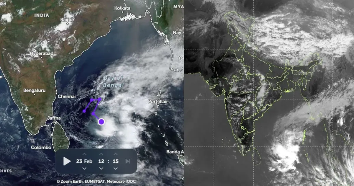
The Northeastern conditions of the nation have been seeing great precipitation movement since quite a while now. On and off Pre-Monsoon downpours have turned out to be steady and the climate has not gone totally dry by any stretch of the imagination.
[yuzo_related]
During the last 24 hours also, heavy rainfall activity has been observed over many parts of Northeast India. Dhubri recorded very heavy rainfall to the tune of 136.2 mm and Cherrapunji 154 mm.
In the last 24 hours from 08:30 am on Wednesday, Itanagar 2 mm, Passighat 46.9 mm, Dibrugarh 5.7 mm, Golaghat 47 mm, Golaghat and Guwahati 3.6 mm, Jorhat 29.2 mm, Mazbat 102.6 mm, North Lakhimpur 7.8 mm, Silchar 28.5 mm, Tezpur 12.8 mm, Tinsukia 2 mm, Imphal 3.6 mm, Kohima 10.4 mm, Agartala 0.6 mm, Kailashahar 1 mm.
An upper air cyclonic circulation is persisting over eastern parts of Bihar and adjoining parts of sub Himalayan West Bengal. A trough is also extending from this system to North Odisha across Jharkhand. Simultaneously, warm and moist winds are affecting over the northeastern states.
Due to these conditions, moderate rainfall is expected at many places with heavy rains at few places over Assam, Meghalaya, Manipur, Mizoram, Arunanchal Pradesh. These conditions will continue during the next 24-36 hours. Thereafter, rain intensity is expected to decrease slightly as low-pressure area is likely to form over East central Bay of Bengal.
Image Credit: Pininterest
Any information taken from here should be credited to skymetweather.com


