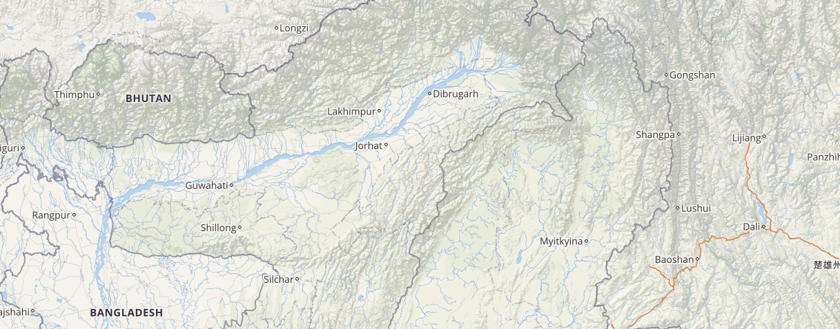
Many parts of northeastern states including Assam, Nagaland, Manipur, Mizoram, Meghalaya, and Tripura have been receiving heavy to very heavy rainfall activities since the last few days. Moreover, the flood situation in Assam has worsened overnight with the total number of flood hit people reaching to around 3.5 lakhs on Friday. Further, in the last 24 hours, the incessant heavy rains over Tripura has triggered flash flood like situation particularly in the western parts of the state.
In a span of last 24 hours from 8:30 am on Friday, Cherrapunji recorded highest rainfall of 280 mm, Agartala 103 mm, Goalpara 74 mm, Shillong 66.4 mm, Pasighat 49.6 mm, Anni 41 mm, Silchar 40.6 mm, Dhubri 31.6 mm, Mazbat 25.6 mm, Guwahati 25.3 mm, Kohima 18.8 mm, Kailashahar 18.4 mm, Tezpur 16.8 mm, Itanagar 15.6 mm, Dimapur 15 mm, Tinsukia 12 mm, North Lakhimpur 11.6 mm, Golaghat 9 mm, Dibrugarh 7.1 mm, Jorhat 6.1 mm and Tawang 3 mm.
The reason for these heavy rains as per Skymet Weather can be attributed to the axis of Monsoon trough which is seen extending along the Foothills of Himalayas. Due to which, the lower parts of Assam, Nagaland, Manipur, Mizoram, Meghalaya, and Tripura will continue to receive moderate to heavy Monsoon rains and thundershowers during the next 24 to 36 hours.
Click here to check the Live Lightning and Thunderstorm status over northeastern states:
During the same period of time, moderate rains are expected to continue over the remaining parts of the northeastern states. Hence, due to the presence of Monsoon surge over these areas, heavy rains are likely to worsen the flood like situations over lower areas of Assam, Manipur, Mizoram, and Nagaland.
[yuzo_related]
Furthermore, the rainfall intensity over Upper Assam, Nagaland, Mizoram, Manipur, and Tripura is likely to reduce significantly after 48 hours but light rains cannot be ruled out over these regions.
Image Credit: ndtv.com
Any information taken from here should be credited to skymetweather.com


