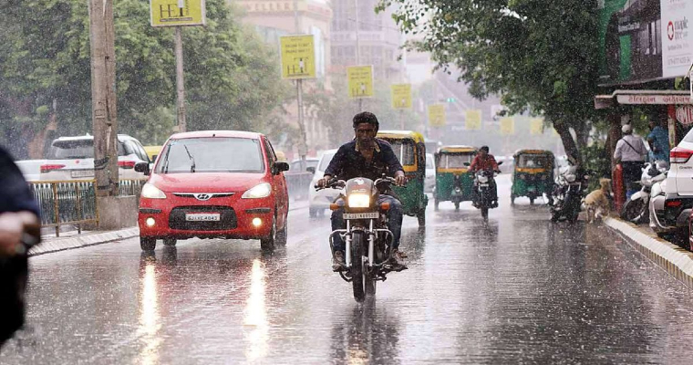
The state of Bihar is perpetually supposed to be a deficit state in terms of rain more often than not, generally during the Monsoon season. However, this season has been a good one with the state observing a big surplus of 110 percent which is way more than the double than normal itself.
In between, Monsoon took a break, went into a weak state which resulted in the reduction of surplus since rainfall had reduced. However, Bihar in no state has been deficit until halfway through the season. While the excess was consumed and dropped to 20 percent surplus, but it still remains surplus. Over East and Northeast India, Bihar has been the best performing state.
Currently, a low pressure area has formed over North Bay of Bengal. The system is expected to move inland after 24 hours or so. Unlike the previous systems, it is taking a more northward track in which case it is passing through Bihar resulting in rains.
During the time of formation of low pressure area, the Monsoon trough was running along the foothills of Bihar in the last 24 hours. Thus, isolated heavy showers were seen including Forbesganj recording 277 mm, which was the highest in the country in 24 hours. Motihari saw 70 mm rains, Supaul 32 mm.
Now, this system will drive rains over Bihar even today with the possibility of good rains. This system will pull the Monsoon trough down, but it will still remain in the proximity of Bihar. Thus, from tomorrow, rain in Bihar will increase, particularly over southern parts including Gaya, Patna, Aurangabad, Nawada etc. Heavy rains are expected in parts. Areas including Kishanganj, Katihar, Araria, Bhagalpur, Purnea, Forbesganj etc. will see rains on July 29.
This system is a slow moving one, thus the trough will spend some time over Bihar giving heavy rains in many parts of the state. The possibility of localized flooding cannot be ruled out.


