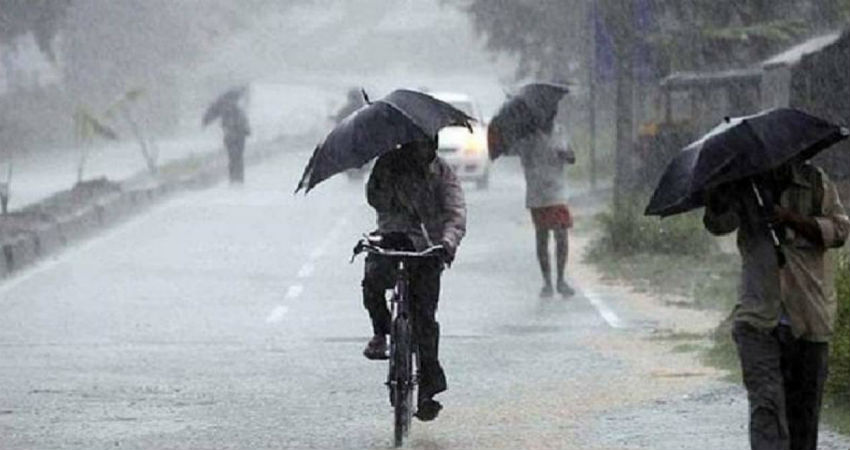
Since the last few days, the state of Madhya Pradesh is receiving a good amount of rainfall. Even in the last 24 hours, the central parts of Madhya Pradesh recorded heavy to very heavy rains and thundershowers.
All these weather conditions are prevailing due to the presence of a Low-Pressure Area which is persisting over Madhya Pradesh since July 3. Now, this system has weakened although a Cyclonic Circulation over Northern parts of Madhya Pradesh and adjoining parts of South Uttar Pradesh is governing the weather in the state. This Cyclonic Circulation is extending up to 4.5 kilometers and titling southwestwards as height extends.
Since this system will be persisting and weakening gradually over the area hence northern parts of Madhya Pradesh will continue to receive moderate to heavy rains and thundershowers. While southern parts of Madhya Pradesh will receive light rains only. Places like Tikamgarh, Satna, Chhatarpur, Damoh, Guna, Panna, Shivpuri, Sheopur, Bhopal, Hoshangabad, Rewa, Sidhi, Jabalpur, etc are likely to receive moderate to heavy rainfall.
These rains will turn out useful for the seeding of new crops. These will also help in restoring groundwater levels in an otherwise dry running state. Day temperatures are likely to decrease during the same period.
As, already rains have occurred over many parts of Madhya Pradesh and are expected to continue during the next three to four days, hence the water levels in rivers will see a considerable rise. Flood like conditions is also likely to arise during the next three to four days.
Image Credits – India Today
Any information taken from here should be credited to Skymet Weather


