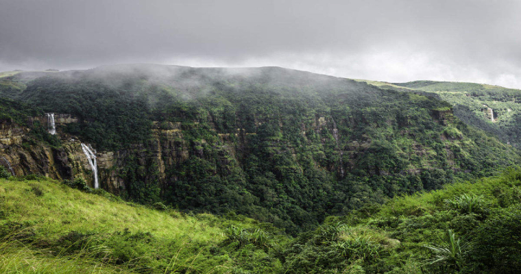
Heavy rain and thundershowers coupled with lightning, gusty winds and hailstorm are likely over the gateway of northeast India. The mountainous state of Sikkim and the varied terrain of Sub Himalayan West Bengal (SHWB ) are expected to witness inclement weather conditions for the next 4-5 days. Elevated locations will be more susceptible to harsh weather between the 24th and 26th of May.
The Bay of Bengal has been pumping plenty of moisture with southwesterly winds. Trail of western disturbances over the Northern Mountains has remnant circulations moving along the foothills of Uttar Pradesh, Bihar and Nepal and stagnating over Sikkim and SHWB. Complexities of terrain invariably escalate the weather activity over this region. Hasimara, Bagdogra, and Binaguri of SHWB rank among the rainiest stations during pre-monsoon and monsoon seasons. Mountain cities of Gangtok, Darjeeling, Kurseog and Kalimpong are vulnerable to heavy weather activity including hailstorms. Higher reaches of Sikkim covering Nathula, Lachung and Lachen bear a more significant risk of snow and avalanche.
Severe weather activity lasting for 3-4 days also comes with disruption in communication and connectivity. Landslides, mudslides and rolling stones over vulnerable routes may derange traffic flow. Weather conditions will improve from 28th May onward and get limited to only higher reaches.


