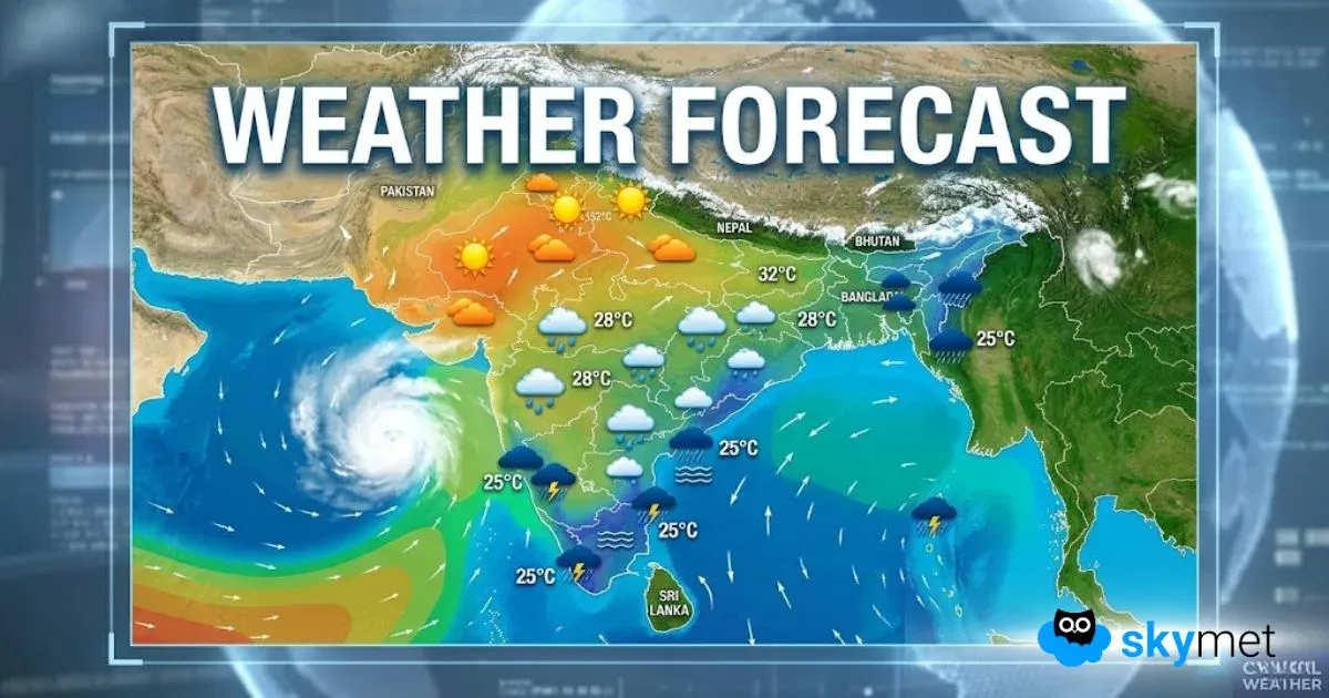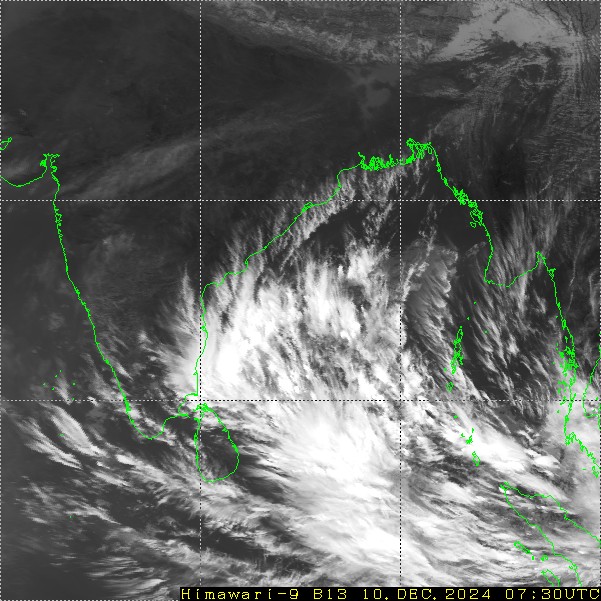
A low-pressure area is marked over the southern parts of the central Bay of Bengal (BoB). It is supported by cyclonic circulation up to mid-tropospheric levels. The system is likely to become well-marked and move west-northwest to reach southwest BoB by tomorrow. Sri Lanka, the Gulf of Mannar and the entire coastline of Tamil Nadu will be at risk of heavy weather activity, more so, on two days between 11th and 12th Dec. Rains are expected before and after these dates but with a lesser intensity.
The well-marked low-pressure area will be associated with a north-south trough along the coastline of Tamil Nadu. Coastal cities like Tondi, Pamban, Tuticorin, Cuddalore, Karaikal and Puducherry will bear the chance of heavy to very heavy rainfall during the mid-week. The capital city Chennai falls on the extreme northern edge of the weather activity. Both the observatories at Meenambakkam and Nungambakkam fall within the reach of inclement weather conditions. Also, the neighbouring suburbs like Tambaram, Kancheepuram, Tiruvallur, Chengalpattu and Pallavaram will be lashed with heavy and incessant rains, more so, on 11thDec 2024.
The peripheral clouds have already reached the capital city and rainfall is likely today, as well. Rains will pick up tomorrow afternoon and become more vigorous in the evening and night. The heavy spell will continue a day later also, with short breaks in between. Rains will be hefty enough to flood the streets and roads and possibly inundate at few places. The inclement weather may disrupt the road, rail and air traffic. The flights may as well get rescheduled and cater for the diversions on account of inoperable flight conditions. Water logging on the runway, aprons and the taxiways may restrict the air operations. Commuters too, will have to cater for the contingency of traffic snarls during the late hours of the day.
The city had fallen short of monthly rainfall in the month of November. However, both Meenambakkam and Nungambakkam have recorded decent showers in excess of 100mm at the respective locations during December. This wet spell will compensate for the earlier shortfall to go way past the monthly normal of 182.4mm. The water bodies, dams, reservoirs and rivers need to be managed well to mitigate the crisis, if any.


