The withdrawal line of southwest monsoon continues to pass through Kalpa, Hissar, Jodhpur and Nalia. Isolated rain and thundershowers are expected to bring down temperatures in Jammu & Kashmir, Himachal Pradesh, Uttarakhand and Haryana. South and east Rajasthan is likely to receive light to moderate rain at few places, keeping the mercury near normal. A predominantly cloudy sky with chances of light rain will not allow the maximum temperature in the national capital to rise above 33 degrees.
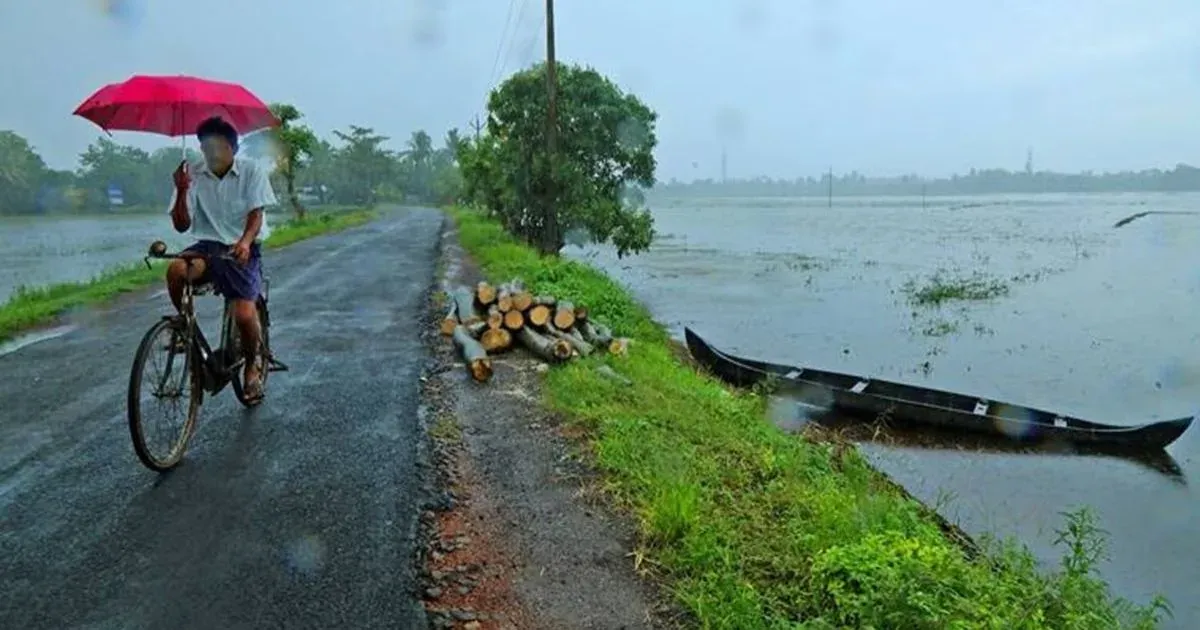
The upper air cyclonic circulation over north Bay of Bengal and neighbourhood extending up to mid tropospheric levels still persists. Under its influence, a low pressure area will develop over Bay of Bengal leading to thundershowers in West Bengal and Orrisa. Jharkhand and north eastern states may receive light to moderate rain. Temperatures are expected to drop by a couple of notches after 48 hours in the north eastern states.
An upper air cyclonic circulation still lies over north Gujarat and adjoining south Rajasthan, and is expected to bring heavy rainfall in this region. Day temperatures of Gujarat will rise significantly as rainfall succumbs. Chhattisgarh will also receive moderate rainfall in the next 24 hours.
The southern peninsula will remain mainly dry due to the absence of any significant low pressure system. Nevertheless, isolated light rain is a possibility in coastal Andhra Pradesh. Temperature will rise by a couple of degrees in coastal Andhra Pradesh. While, it will remain near normal in interior Karnataka and Tamil Nadu. Bangalore, as always will remain comfortable with maximum and minimum temperatures at 29 and 20 degrees respectively.