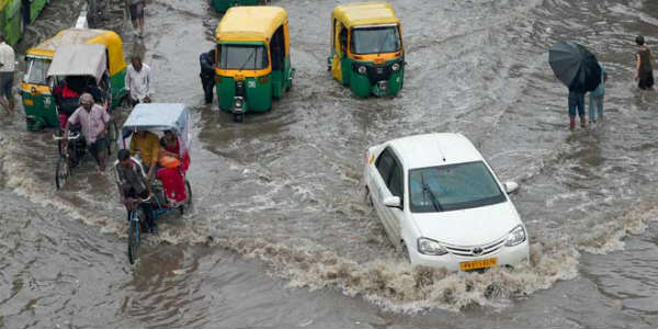
Extremely heavy rains occurred over northern half of Madhya Pradesh for the second consecutive day. In fact, places such as Rewa recorded heavy rain to the tune of 71 mm. Meanwhile, rain intensity has decreased significantly over the southern districts.
In the last 24 hours from 08:30 am on Thursday, Gwalior 51 mm of rain, followed by Sagar 28 mm, Dhar 24 mm, Siddhi 23 mm, Datia 29 mm, Satna 7 mm and Khajuraho 9 mm.
A cyclonic circulation is seen over north central parts of Madhya Pradesh. Even though the axis of Monsoon trough has shifted towards north, but the effect of this cyclonic circulation and the Monsoon trough will be felt by the northern districts of the state for another 24 to 48 hours, as we expect heavy to extremely heavy rains in isolated pockets of Northeast Madhya Pradesh in the coming days.
Gradually, intensity of rain will increase over the western and southwestern districts such as Guna, Ratlam, Ujjain, Bhopal, Indore and Dewas.
However, the eastern and northeastern districts such as Rewa, Satna, siddhi, Damoh, Umaria, Jabalpur and Mandla may receive heavy showers in the coming days.
So, we can say intensity of rain will be more over the eastern parts as compared to the western parts of the state.
Image credits – YouTube
Any information taken from here should be attributed to skymet weather.


