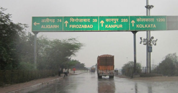
Since last two to three days moderate to heavy showers are going on over many parts of Uttar Pradesh. In fact, West and Central districts of Uttar Pradesh are receiving good rains. However, East Uttar Pradesh has still not recorded any good rain, as only isolated showers are being seen over this area.
[yuzo_related]
In the last 24 hours from 08:30 am on Thursday, Bahraich recorded very heavy rain to the tune of 115 mm, followed by Fursatganj 31.2 mm, Sultanpur 16.5 mm, Lucknow 11.4 mm, Shahjahanpur 5 mm, Allahabad 3.4 mm, Jhansi 2.4 mm, Kanpur 2.6 mm, Moradabad 2 mm.
At present the axis of monsoon trough is running via South Uttar Pradesh. Moreover, a cyclonic circulation is also persisting over South Uttar Pradesh. Therefore, we can expect moderate showers with one or two heavy spells to continue over Uttar Pradesh for the next 24-48 hours.
Few spells of rain and thundershowers at some places with strong gusty wind at few places are likely over Agra, Aligarh, Allahabad, Ambedkar Nagar, Amethi, Auraiya, Azamgarh, Badaun, Baghpat, Bahraich, Ballia, Balrampur, Banda, Bara Banki, Bareilly, Basti, Bijnore, Bulandshehar, Chandbali, Chitrakoot, Deoria, Etah, Etawah, Faizabad, Farrukhabad, Fatehpur, Firozabad, Gautam Buddha Nagar, Ghaziabad, Ghazipur, Gonda, Gorakhpur, Hamirpur, Hapur, Hardoi, Jalaun, Jaunpur, Jhansi, Jyotiba Phule Nagar, Kannauj, Kanpur Dehat, Kanpur Nagar, Kanshiram Nagar, Kaushambi, Kheri, Kushinagar, Lalitpur, Lucknow, Mahamaya Nagar, Mahoba, Mahrajganj, Mainpuri, Mathura, Mau, Meerut, Mirzapur, Moradabad, Muzaffarnagar, Pilibhit, Pratapgarh, Rae Bareli, Rampur, Saharanpur, Sambhal, Sant Kabir Nagar, Sant Ravidas Nagar (Bhadohi), Shahjahanpur, Shamli, Shrawasti, Siddharthnagar, Sitapur, Sonbhadra, Sultanpur, Unnao and Varanasi districts of Uttar Pradesh during next 12 hours.
Thereafter, rain intensity will go down but on and off rains will still continue, and rains will once again increase over West and Central parts of Uttar Pradesh around July 21.
Image Credit: Pininterest
Any information taken from here should be credited to skymetweather.com


