As predicted by Skymet Weather, in association with the active Western Disturbance and its induced cyclonic circulation approaching the Western Himalayas, during the last 24 hours, northern parts of Jammu and Kashmir experienced light rainfall activity in its valley regions.
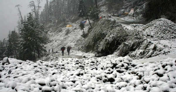
In fact, the higher reaches of the state also witnessed snowfall activity. In the last 24 hours from 08:30 am on Saturday, Gulmarg recorded 8 mm of rain, followed by Srinagar 5 mm, Qazigund 1 mm and Banihal 0.8 mm. Meanwhile, mainly dry and cold weather prevailed over most parts of Himachal Pradesh and Uttarakhand.
Now as both the above weather systems are moving east/northeastwards slowly, clouding over the hills of North India is expected to become dense. Moreover, as the weather systems approach and time progress, the intensity and spread of rain and snow is likely to increase over many places of Jammu and Kashmir, Himachal Pradesh and Uttarakhand.
Thus, during the coming two to three days, heavy rain and snow is expected to lash the northern hills. In fact, rains will be seen increasing today night onwards over Jammu and Kashmir and in the next 18 to 24 hours, gradually over Himachal Pradesh and Uttarakhand as well.
Further in the coming days, heavy rain and snow will result in many disruptions such as road blockages, air traffic, power cut etc. that will be affecting common man’s life majorly. Most importantly due to such extensive snowfall activity the chance of Avalanche cannot be ruled out.
Isolated places of Himachal Pradesh, Uttarakhand and South Jammu and Kashmir may also receive hailstorm activity during this period.
Image Credit: Wikipedia
Please Note: Any information picked from here must be attributed to skymetweather.com


