After giving scattered rains over West Bengal and parts of Odisha, the weather system has now moved away northeastwards. But a fresh Western Disturbance is now approaching the Western Himalayas.
Therefore, we expect scattered light rains to commence over many parts of Jammu and Kashmir by today evening and thereafter the intensity will increase. Snowfall will also start over parts of Jammu and Kashmir. By February 18, parts of Himachal Pradesh and isolated pockets of Uttarakhand may also start receiving rain and snow activities.
The approaching Western Disturbance will also be one of the strongest weather systems. There will be two active successive Western Disturbances affecting the northern hills in the coming days. Thus, we can say that rain and snow are expected to continue over Jammu and Kashmir, Himachal Pradesh and Uttarakhand till February 22.
In fact, there will be no significant gap in the occurrence of weather activities over the Western Himalayas. Until then, the cold northwesterly winds will remain absent over northern plains and the direction of winds will change to southeasterly. Therefore, the minimums will once again start increasing over northern plains.
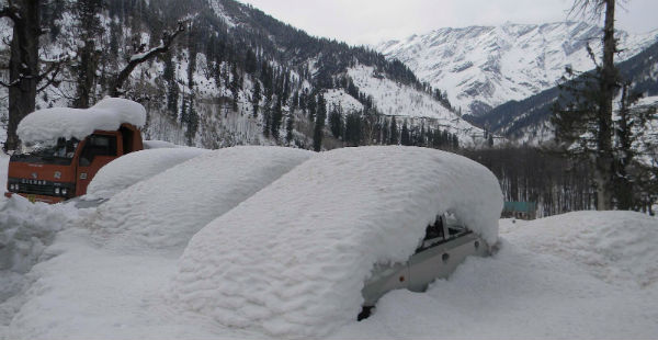
Heaviest snowfall is predicted to occur on February 21. During that time, we expect heavy to very heavy rain and snow to occur over all the three hilly states. As these activities will be of very high intensity, all the major roads will get blocked and there will be widespread landslide/mudslide. Chances of avalanche are also very high as snow is likely to accumulate.
Weather over the hills of North India will start clearing up from February 23. However, during that time also, we expect isolated rain and snow to continue over few parts of these states. But as the intensity of these weather activities will go down significantly and weather will almost clear up by February 24.
Image Credit: Wikipedia
Please Note: Any information picked from here must be attributed to skymetweather.com


