It is that time of the year again when the hilly states of North India witness intense weather activity, all thanks to the frequent Western Disturbances that approach the Western Himalayas. These winter systems give good amount of rains and snowfall over many areas of Jammu and Kashmir, Himachal Pradesh along with some parts of Uttarakhand.
So far, during this season, a very active Western Disturbance has not made an appearance over the Himalayas. There have been a few Disturbances which have given rain and snow over the extremely higher reaches, but they failed to give any significant weather activity over other parts of the hills.
[yuzo_related]
However, now, a fresh and active Western Disturbance is approaching the Western Himalayas which is expected to give some rain as well as snowfall over Jammu and Kashmir as well as Himachal Pradesh.
Thus, the hilly states of North India are all set to receive some significant amount of rain starting tonight. These rains will soon be followed by some spells of snowfall activity which will pick up more pace on December 12. Thus, between December 11 and 12, along with some part of December 13, moderate to heavy rains as well as snow are expected over both the hilly states.
Check out the live lightning and thunderstorm status across hills of North India
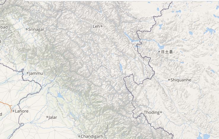
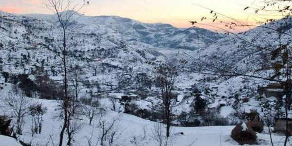
The rain and snow activity will be more over the higher reaches, but the mid reaches may also witness some intense weather activity. Areas including Gulmarg,Pahalgam, and Kufri along with Lahaul, Spiti and Kinnaur are expected to see some snow.
Good rains are also likely over popular hill stations ofShimla, Manali,Srinagarand adjoining areas. Not only this, the possibility of some snow over these areas also cannot be ruled out.
Due to these rains and snow, the possibility of closure of highways also is quite likely during this time.
Image Credit: TourMyIndia.com
Please Note: Any information picked from here must be attributed to skymetweather.com


