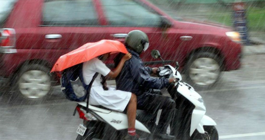
The rainfall activities have once again increased in the state of Gujarat. During the last 24 hours, Saurashtra observed heavy showers, while traces of rains have been recorded over theKutch region.Meanwhile, the intensity remained light to moderate over the remaining parts.
With some major weather systems persisting, heavy rains are likely to continue in Surat, Valsad, andVadodara, whileAhmedabadand Deesa may receive moderate showers. One or two places might even experience a flood-like situation.
In a span of 24 hours from 8:30 am on Saturday, Amreli received 37.6 mm of rainfall, followed by Veraval 31 mm and Deesa 28.2 mm.
At present, a Cyclonic Circulation is at the mid-tropospheric levels over the Northeast Arabian Sea off South Gujarat Coast. Another Cyclonic Circulation is approaching from Madhya Pradesh.
The combined effect of these two systems would bring in light to moderate rain and thundershowers in many parts of Gujarat. Isolated heavy spells cannot be ruled out.
Places like Surat, Valsad, Bharuch, Anand, Vadodara, Amreli, Rajkot, Jamnagar, Bhuj, and Naliya would record heavy rain and thundershowers. Heavy rains may trigger aflood-like situationin parts of Bharuch, Bhuj, Rajkot, and Amreli.
Meanwhile, moderate rains are likely in Ahmedabad, Mehsana, Deesa, and Gandhinagar. These activities are likely for the next two to three days.
In the wake of these showers, the weather would become comfortable with cloudy to overcast sky conditions. Moreover, the rainfall would be useful for crops like Groundnut, Bajra, Jowar, and Cotton.
Due to good amounts of rainfall, the Gujarat region, as well as Saurashtra and Kutch, are standing rain surplus by 16% each, according to rainfall data available with Skymet from June 1 to August 31.
Image Credits – India Today
Any information taken from here should be credited to Skymet Weather


