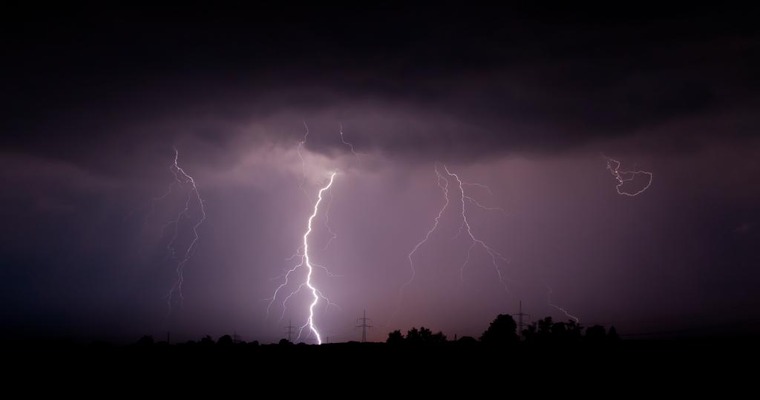
Inclement weather activity is likely over the eastern states of the country, today and tomorrow. Severe thunderstorms, accompanied by strong winds, hailstorms and lightning strikes are forecast for four states, namely Chhattisgarh, Jharkhand, Odisha and West Bengal. The peripheral region of Coastal Andhra Pradesh and contiguous parts of Bihar may also have stints of bad weather.
A cyclonic circulation is marked over the tri-junction of West Bengal, Odisha and Jharkhand in the lower levels. A northeast-southwest trough is extending from this circulation to Telangana across Jharkhand, Odisha and Chhattisgarh. An anticyclonic circulation over the western Bay of Bengal, off the coast of Odisha is fueling moisture for this feature. The combined influence of these factors is triggering intense weather activity over a large area, covering four states.
Today, the spread and intensity of weather activity will be large covering Chhattisgarh, Odisha, Jharkhand and West Bengal. Lightening strikes and thunderstorms will be more powerful for the states of Jharkhand and Odisha. Severe lightning accompanied by hailstorms and strong & gale-speed winds is expected over these two states. Tomorrow, there may be a slowdown of punch but the spread will remain for this area. The activity will stretch to cover parts of North Coastal Andhra Pradesh and Bihar, as well.
Safeguard from the inclement weather conditions is needed today and tomorrow, to eliminate or at least minimize losses of life and assets. Caution should be exercised to reduce life loss to zero on account of lightning strikes. Working in the fields and venturing in the open need to be restricted, during hazardous weather conditions. The weather activity will shift to northeast India on 21stMarch. Broad clearance can be expected for the eastern states from mid-week and continue till the month's end.
Image credit: cdn.downtoearth.org.in


