The state of Maharashtra remained as dry as a bone throughout the first few months of the year. While there were a few occasional spells of rain, typical showers remained absent from most parts. Coastal areas of Maharashtra including Mumbai particularly remained dry for a whopping seven months.
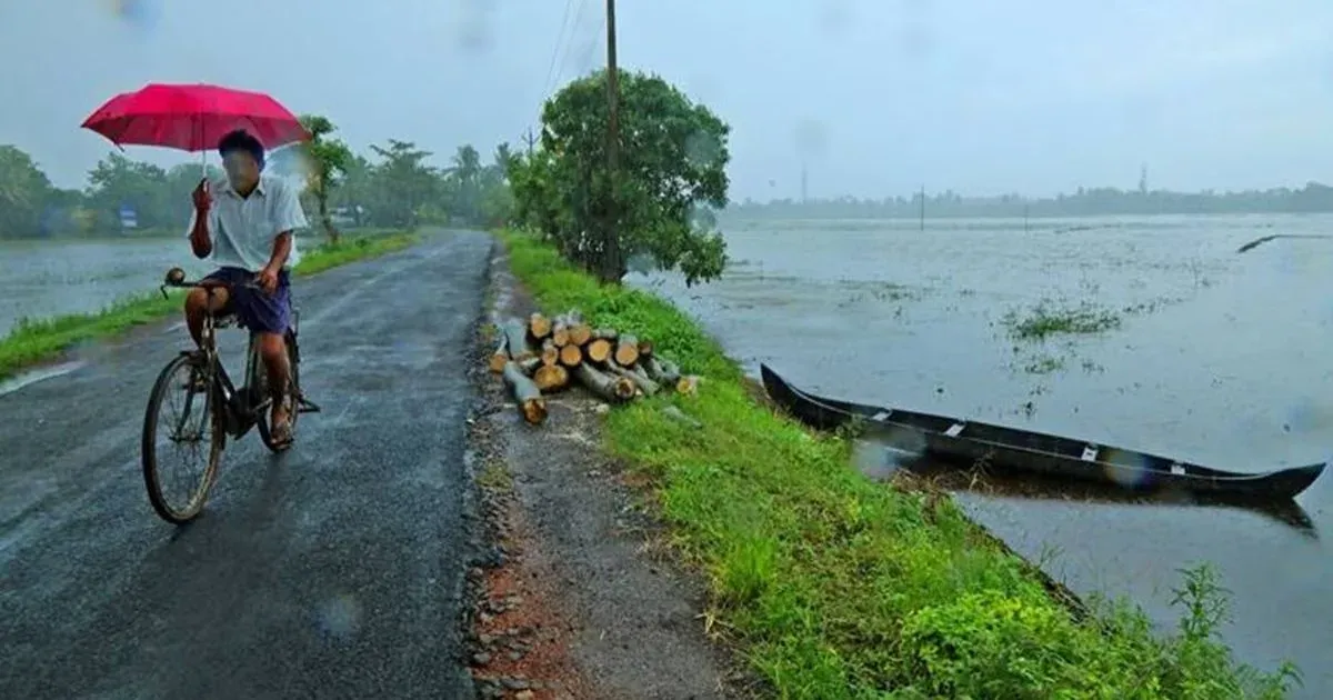
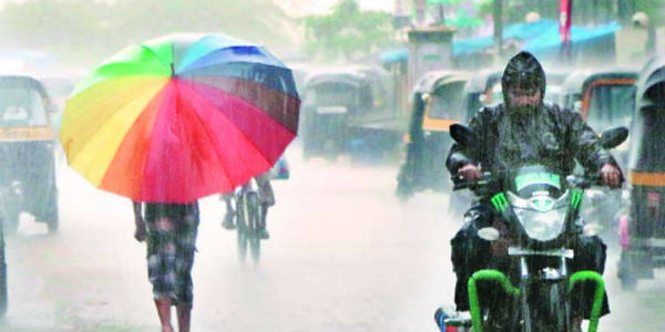
However, rain gods have once again opened their doors for Maharashtra and since the last few days, moderate to heavy showers are occurring over coastal parts of Maharashtra. Not only this, some rainfall activity has also begun over the interior parts.
During the last 24 hours from 8:30 am on Thursday,Mumbairecorded a good 27 mm of rain, Dahanu 23 mm, Harnai 55 mm, Rantagiri 27 mm, Aurangabad 11 mm, Ahmadnagar 4 mm, Adilabad 16 mm, Yeotmal 4 mm and Chandrapur 6 mm.
Now, rain will increase over Madhya Maharashtra. Also, many cities of Madhya Maharashtra such asPune,Nashik, Ahmadnagar,Shirdi, Satara andKolhapurwill begin receiving moderate to heavy rains.
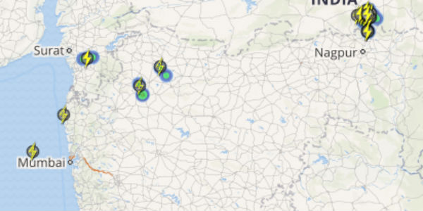
Check out the latest lightning and thunderstorm status across Maharashtra
These good rains are expected to continue for next three to four days which will mark the onset of Monsoon over the state of Maharashtra.
[yuzo_related]
During the next 24 hours, a feeble trough will form over coastal areas of Maharashtra. Thus, southwesterly moderate winds will further increase up to Madhya Maharashtra. Also, a cyclonic circulation is over Mumbai coast which will further enhance rain activities over the state.
While Vidarbha and Marathwada may not witness good rains, isolated rainfall will occur over these areas of the state as well. Southwest Monsoon will make an onset over Maharashtra during the next few days.
Image credit: India.com
Any information taken from here should be credited to skymetweather.com