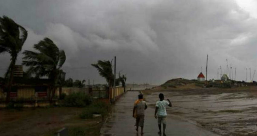
The state of Odisha has been experiencing scattered light to moderate rains, since the last 24 to 48 hours.
According to the data available with Skymet, Bhawanipatna has recorded 19 mm of rainfall, followed by Titilagarh 18 mm, Koraput 17 mm, Cuttack 14.4 mm and Sundargarh 8 mm of rainfall, during the last 24 hours, from 8:30 am on Sunday.
The credit for ongoing rains over the state goes to the Trough, which is extending from East Bihar up to coastal Andhra Pradesh across Odisha.
As the Trough is expected to persist for some more time, we expect rain intensity to increase, particularly, over South and Coastal Odisha, while over the interior parts scattered rains would continue for some more days.
During this period, one or two moderate spells with isolated heavy spells cannot be ruled out. Further, these on and off rainfall and thundershower activities are expected to continue for the next two to three days over the entire state.
Moreover, due to the increasing intensity of rainfall activities and favourable conditions, we expect Monsoon to make an entry in Odisha, most probably within next two to three days.
Places like Balasore, Ganjam, Raigarh, Angul, Bhubaneswar, Jharsuguda and Sambalpur will witness these weather activities.
Meanwhile, due to extensive clouding and subsequent rainfall, temperatures over most parts of the state will subside. Heat wave will abate completely, however humidity levels will increase. These rains will also be useful for paddy crops in Odisha.
The state of Odisha has not seen dry weather since the last 10 to 15 days. All thanks to the rain and thundershower activities that have been lashing the state lately.
Image Credits – Pinterest
Any information taken from here should be credited to Skymet Weather


