Odishais one such state of the country that faces severe water crisis as well as cyclones. For the month of July, the state’s rainfall percentage stood deficient at 20%. At present, the rain deficiency stands at normal with 16% on the negative side.
The change in the rainfall statistics is due to the good rains at the start of August.
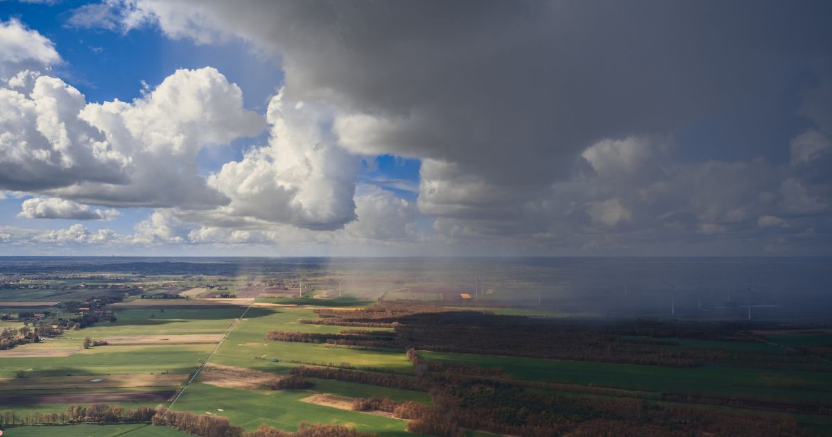
A low-pressure area is persisting over Northwest Bay of Bengal and adjoining coastal Odisha and GangeticWest Bengal. This system is expected to move in a westerly direction and rain intensity will increase over Odisha.
In the last 24 hours, fairly widespread moderate to heavy showers have occurred which will help the rain deficiency of the state to go down further. Now we expect good rains to continue over many districts of Odisha for next 3-4 days.
Axis of Monsoon trough is also passing through coastal Odisha which will also enhance the rain activity over the state.
During Southwest Monsoon, East Coast of India usually receives good rains whenever any weather system, be it a low-pressure area or a cyclonic circulation, forms over Bay of Bengal. Since the beginning of July till now, we have seen few weather systems that have given good rains over the areas.
At present, the low-pressure area which is persisting over Northwest Bay of Bengal will move in a west direction and give good rains in the interior parts of Odisha and thereafter overChhattisgarhandMadhya Pradesh.
In the last 24 hours Koraput received 32 mm of rainfall, Angul 112 mm, Bhubaneswar 44 mm, Cuttack 54 mm, Puri 31 mm and Sambalpur received a whopping 240 mm of rainfall.
Image Credit:Instagram.com/sushtend
Please Note: Any information picked from here must be attributed to skymetweather.com