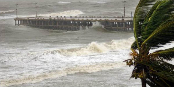
Monsoon surge has now gone weak and it has been only the West Coast as well as the Northeast Indian region where rainfall has been on the higher side. In fact, many areas in Northeast India are also reeling under flooding conditions which has wreaked havoc to a greater scale.
[yuzo_related]
However, other parts have been witnessing lesser rainfall activity. Thus, daily normal rains are also below the normal threshold for Pan India.
During a weak Monsoon spell, Tamil Nadu, South Interior Karnataka, Rayalaseema see significant rains. Northeastern parts including Assam, Meghalaya, and Arunachal Pradesh along with Sikkim and Sub Himalayan West Bengal, North West Bengal as well as foothills of Bihar also witness rains
Usually, Monsoon rains revive only if a system forms in the Bay of Bengal. For the next two to three days, no significant weather system is expected to form.
However, after June 22, winds are expected to become southerly and chances are that a system may emerge in the North Bay of Bengal as a cyclonic circulation thereafter moving into land and has the potential of becoming an inset low pressure area.
This system will be instrumental in bringing Monsoon rains, however, the system is not expected to be a strong one. In fact, this system will also be responsible for the advancement of Monsoon further, which has remained stagnant for a while now.
This system is expected to revive Pan India rains which will begin with Coastal Odisha, Gangetic West Bengal, Jharkhand, Madhya Pradesh, Maharashtra, Jharkhand, Bihar as well as East Uttar Pradesh.
This system is not expected to move far to the west, i.e. the state of Rajasthan.
Image Credit: Times of India
Please Note: Any information picked from here must be attributed to skymetweather.com


