A fresh cyclonic circulation has been brewing in east-central Bay of Bengal and adjoining Andaman Sea for the last 24 hours. Further, the cloud configuration and atmospheric conditions are indicating that the circulation may get more marked in the next few days.
[yuzo_related]
According to Skymet Weather, this weather system is most likely to induce a low pressure area gradually over east-central Bay of Bengal by October 15 or 16. Thereafter, this system may further strengthen into a well-marked low pressure area and subsequently into a depression by October 17 or 18.
As per the weather models, the weather systems will move in north-northwest direction towards Gangetic West Bengal. Thus, we can expect heavy to very heavy rain and thundershowers over North Odisha, Gangetic West Bengal, northeastern states and Bangladesh between October 18 and October 20. These showers will also be accompanies with moderate lightning strikes, along with squally winds.
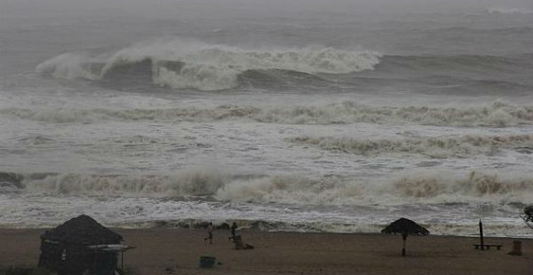
During this time, sea conditions will be rough to very rough off and along the coastal areas. However, we have to wait and watch whether the system will intensify into a cyclonic storm or not.
Weathermen are of the view that the system will continue to move in favourable weather conditions, as there is a long sea travel left. Therefore, probability of the system becoming a cyclone cannot be ruled out.
IMAGE CREDIT: ndtv.com
Any information taken from here should be credited to skymetweather.com


