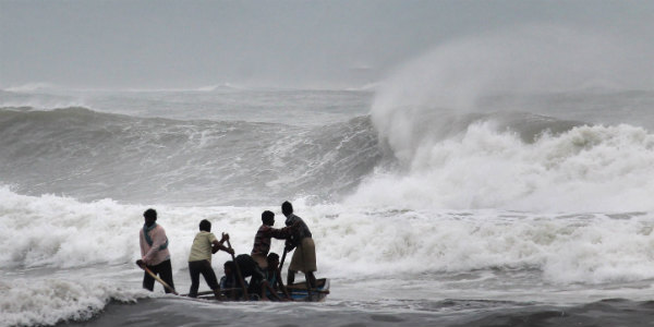
A fresh low-pressure area has originated in the South China Sea during the last 24 hours. The weather system is moving in the west direction and is presently seen over Gulf of Siam.
According to Skymet Weather, the low-pressure area is most likely to move into North Andaman Sea in the next 2-3 days.
Due to its long sea travel, weather conditions will be favorable for the further intensification of the weather system. Weathermen are of the view that the low-pressure area will get more marked and strengthen into a well-marked low-pressure area by November 5-6.
Thereafter, it is expected to move in a north-northwesterly direction towards Bangladesh. Though system will continue to move in favorable weather conditions, we need to wait and watch whether it will intensify further or not.
[yuzo_related]
In its journey ahead, the weather system will interact with the low pressure area over Southwest Bay of Bengal and Sri Lanka between November 5 and November 8.
It may not have a direct impact on the weather over East Coast of India but it will surely enhance rainfall over South Coastal Andhra Pradesh and parts of North Coastal Tamil Nadu by strengthening the above mentioned low-pressure area over southwest Bay of Bengal.
With this, rains are likely to increase over South coastal Andhra Pradesh significantly. Weathermen are predicting heavy to very heavy rains, with isolated extremely heavy spells over South Coastal Andhra.
Places like Nellore, Kavali, Tirupati, and Ongole will see some torrential rains during this time period. Chennai and nearby areas are likely to see moderate showers with isolated heavy spells.
Image Credit: bbc.com
Any information taken from here should be credited to skymetweather.com


