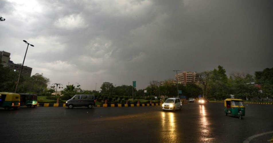
Yesterday, some thundery activities were observed in parts of Delhi and its adjoining areas such as Noida, Gurugram, Ghaziabad and Faridabad.
The major reason for these activities was a feeble Western Disturbance over Jammu and Kashmir. Its induced Cyclonic Circulation was marked over North Rajasthan and adjoining Punjab and Haryana. A Trough was also extending up to Southwest Uttar Pradesh.
As these systems are expected to persist for some more time, we expect similar weather activities to occur today as well in Delhi and NCR area. There are also chances of isolated dust storm followed by light to very light rain and thundershower activities in some parts.
However, due to the light intensity of these weather activities, no major change is expected in the minimum and maximum temperatures of the region. In fact, the day temperatures are expected to increase in the absence of any significant weather activity like rain.
By June 7, the entire region will come under the influence of dry and hot northwesterly winds, which are responsible for increasing the day temperatures.
According to Skymet Weather, until now, Delhi and its adjoining areas were experiencing humid southeasterly winds, which helped in keeping the temperatures under check to some extent. In fact, southeasterly winds also helped in pulling down the soaring day temperature to 40℃ on few occasions.
With south-easterlies making an exit and north-westerlies taking its place, temperatures in Delhi and NCR area will once again rise by 2-3 degrees. There are chances of some pockets experiencing heat wave conditions once again.
Tomorrow onward, dry and hot weather conditions will once again take over the entire region and no significant pre Monsoon activity is expected for next three to four days. This is because the feeble Western Disturbance in the hills of North India will fail to give any significant rains over Delhi and NCR area.
Image Credits – Pinterest
Any information taken from here should be credited to Skymet Weather


