Southwest Monsoon has remained active to vigorous over the state of Gujarat for the last many days now. Rajkot, Deesa, Valsad witnessed three digit heavy rains in the past few days which led to flooding.
In the last 24 hours also, Monsoon remained active over the state wherein Dwarka recorded 39.1 mm, Bhuj 22.2 mm, Kandla 15.8 mm and Naliya12.5 mm.
Now, Gujarat is gearing for another spell of torrential Monsoon rains once again. During the next 24 hours, Porbandar, Rajkot, Idar, Surendranagar, and Deesa are likely to witness heavy to very heavy Monsoon rains, while rest parts of the state such as Ahmedabad, Surat, Bhavnagar, Gandhinagar, and Valsad will witness moderate showers with one or two heavy spell.
[yuzo_related]
With this, threat of flooding once again looms large over the state. All thanks to the low-pressure area that has formed over Kutch and adjoining area. Besides this, the axis of Monsoon trough is passing through Idar, Guna, Pendra, Jaisalmer, Digha and Northeast Bay.
These rains have returned after a gap of two to three days only and more rains would make the already existing water logging issues more problematic.
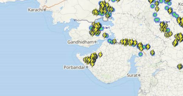
Click the image below to see the live lightning and thunderstorm across Gujarat
As on July 19, Gujarat region is rain surplus by 6% and Saurashtra and Kutch are surplus by 51%. These numbers are likely to increase as vigorous Monsoon conditions are likely to hit the state of Gujarat within one or two days.
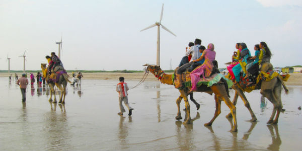
IMAGE CREDIT: gujarattourism.com
Any information taken from here should be credited to skymetweather.com


