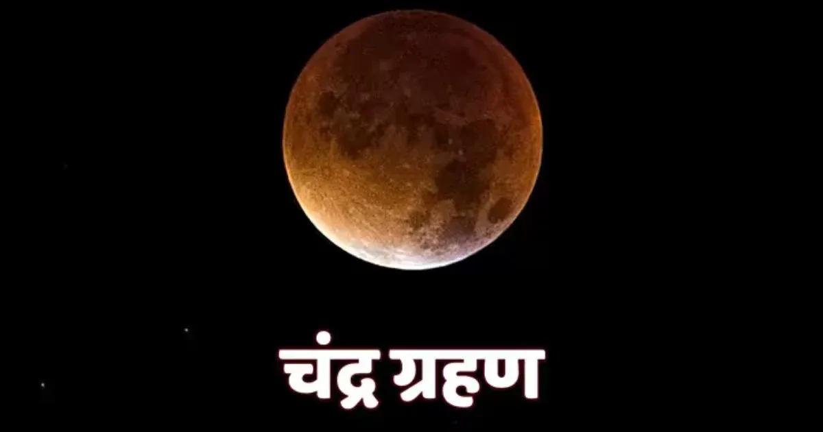
Chandra Grahan 2026: 3 मार्च 2026 को होली और चंद्रग्रहण एक साथ, जानें कब और कहां दिखेगा लाल चांद
Holi 2026 Weather Updates: पश्चिम बंगाल से उत्तर भारत तक खिलेगी धूप, तापमान बढ़ेगा लेकिन बारिश गायब, जानें आपके शहर का हाल
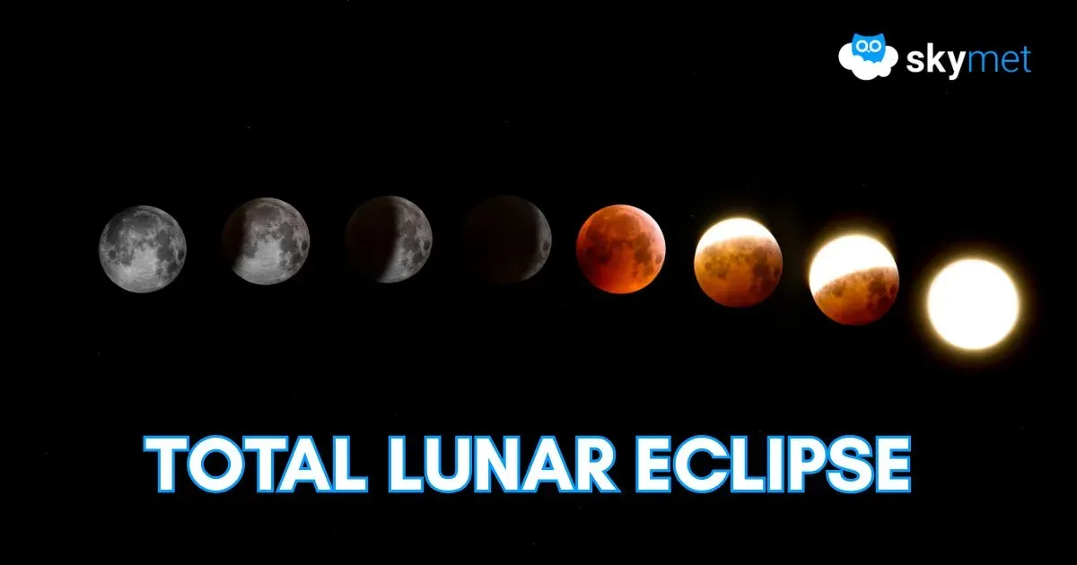
India to Witness Final Phase of Total Lunar Eclipse on March 3; Check Visibility, Date, Time and More
Holi 2026 to Be Rain-Free: State-Wise Weather Forecast for UP, Delhi, Rajasthan, Punjab and More