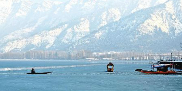
The state of Jammu and Kashmir saw rain and snow at the end of the month of January. In the past two to three days, the region saw it all, right from good rain, flurries of snow to fluctuating temperatures. All these conditions occurred in view of a Western Disturbance which was affecting the hills of North India.
In fact, snowfall activity occurred over many parts of Kashmir including the hilly locales of Srinagar, Pahalgam, Gulmarg, as well as Qazi Gund. Meanwhile, the last 24 hours saw very little rain and snow over the region. In fact, the city of Srinagar witnessed a mere 0.2 mm of rain in a span of 24 hours from 8:30 am yesterday.
[yuzo_related]
Now, this weather system has moved away. In fact, now, dry weather conditions are expected to occur over the entire hilly region of North India for at least some time.
There is a feeble Western Disturbance which is currently over North Jammu and Kashmir. However, this disturbance will not result in any weather activity over the hills of North India as it is not only feeble in nature but also a fast-moving system.
Thus, during the next 2 to 3 days, maximum temperatures will remain above the normal levels while minimums will settle close to normal.
Meanwhile, another Western Disturbance will affect the Western Himalayan region around February 5 and 6. Thus, rain and snow activities are likely over the hilly locales of Srinagar, Shimla, Manali, Mussoorie, Gulmarg, Auli during that time.
Image Credit: globalvisiontours.com
Please Note: Any information picked from here must be attributed to skymetweather.com


