Dry and hot winds from northwest direction are continuing over many parts of the Northwestern Plains. But a cyclonic circulation is seen persisting over North Punjab has given good rains over parts of Punjab and one or two places Haryana. Southeast Rajasthan has also received few showers during the last 48 hours, but in light intensity.
[yuzo_related]
Now we expect short spells of thundershower activities at one or two places of West Punjab, West Haryana and North Rajasthan during the next 24 hours. These activities may be accompanied by dust storm as well.
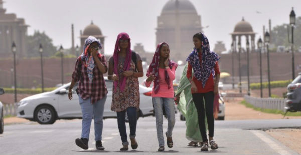
However, weather of West Rajasthan, Delhi, West Uttar Pradesh and remaining parts of Haryana will remain hot and dry, making uneasy for the residents of these states.
Day temperatures which are currently settling in lower 40s are expected to increase further in the coming two to three days. As of yesterday, Delhi recorded its maximum temperature at 39.8˚C.
Pre-monsoon activities over these states are not expected pick up pace till June 25. However, from June 26 onwards, rains will again start and keep increasing till the onset of monsoon which is expected towards the end of this month, including Delhi and most parts of the northwestern plains expect Rajasthan.
Image Credit: Times of India
Any information taken from here should be credited to skymetweather.com


