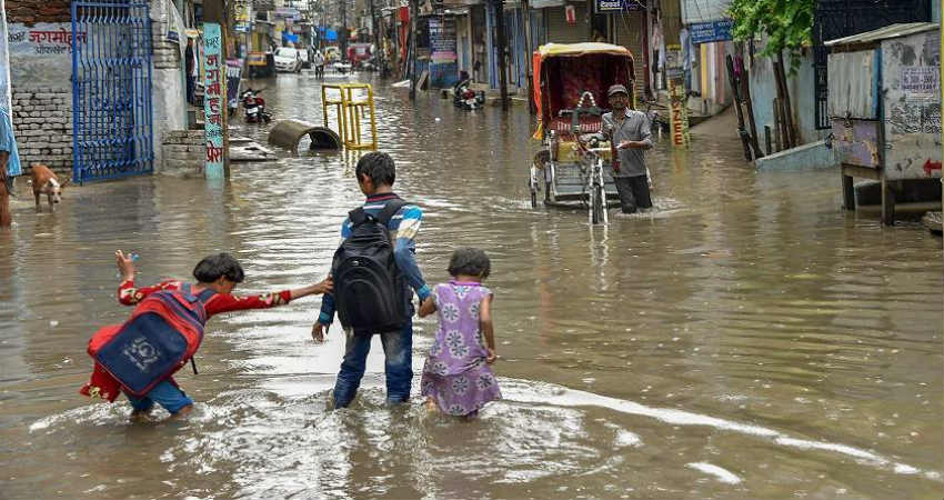
After a prolonged dry spell, nowrains have commenced over the state of Uttar Pradesh.
The axis of Monsoon Trough has shifted South of its normal position and was persisting over South Rajasthan, South Madhya Pradesh, and over parts of Odisha leading to almost dry weather conditions over Indo-Gangetic Plains including Uttar Pradesh.
Now, the Cyclonic Circulation over South Rajasthan which was holding the western end of Monsoon Trough has weakened. The trough has already moved to North and is now over North Rajasthan and is passing through South Uttar Pradesh.
During the last 24 hours, many places in the state like that ofBareilly, Hardoi, Fursatganj andHamirpurhave received rains already.
Today, cities like that of Meerut, Muzaffarnagar,Bulandshahar,Aligarh, Eta, and Badayun have received scattered rains.
Now, many more parts of the state will start receiving rains and thundershower activities. Initially, the rain activities will be more over southern districts of the state. Thereafter many other parts of Uttar Pradesh will start receiving rains and thundershowers.
The rain intensity will be more on August 5 and 6. On August 7 and 8, the eastern districts of Uttar Pradesh may get moderate to heavy rains due to the influence of a Low-Pressure Area which is about to develop over North Bay of Bengal.
Image Credits–
Any information taken from here should be credited to Skymet Weather