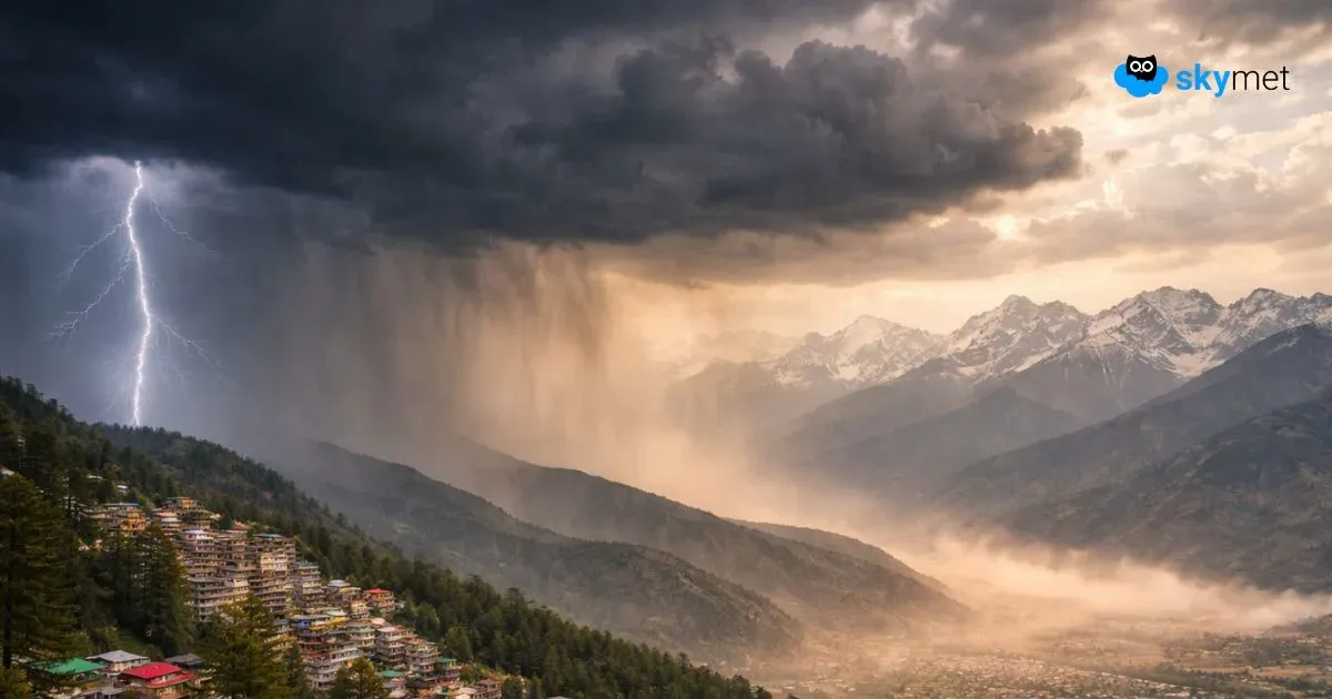
Since last two to three days, good Monsoon rains have been lashing several districts of the Western Himalayas. Further, heavy to very heavy rains have been occurring over Uttarakhand and Himachal Pradesh. Whereas, light to moderate rains were over Jammu and Kashmir region.
In a span of last 24 hours from 8:30 am on Thursday, Dharamsala recorded 69.4 mm of rainfall,Solan55 mm, Una 49 mm,Hamirpur45 mm,Shimla40.9 mm, Sundernagar 24 mm,Mukteshwar22 mm, Manali 21 mm, Katra 19.4 mm, Pithoragarh 17 mm, Almora 12 mm,Champawat7 mm, Batote 6.4 mm and Tehri 4.5 mm.
The reason for these continuous good Monsoon rains can be attributed to the axis of Monsoon trough which is seen running close to the foothills of Himalayas. Due to which, heavy to very heavy rains are expected to continue over many places over Uttarakhand and Himachal Pradesh for the next few days. Also, light to moderate rains and thundershowers will continue to occur over Jammu and Kashmir region.
[yuzo_related]
However, the rainfall intensity over the southern districts of these regions is likely to increase steadily within few days, although these good rains over some places will reduce by August 6-7. Thereafter, by August 8, good Monsoon rains and thundershowers may once again show up over the entire state.
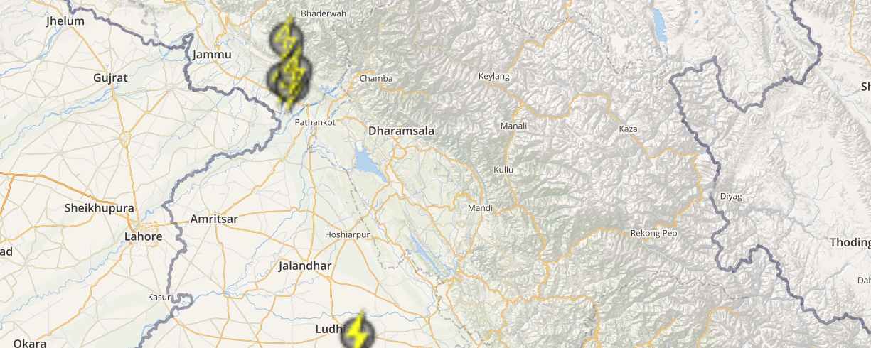
Click here to check the Live Lightning and Thunderstorm status over Western Himalayas:
Though these rains may bring in some relief to the residents as the weather over Western Himalayas will be pleasant for another four to five days. Moreover, these continuous rains may trigger flash floods, blockage of main and connecting roads, landslides and a few chances of cloud burst also cannot be ruled out over these regions.
Credit Image: Indiatrendingnow.com
Any information taken from here should be credited to skymetweather.com