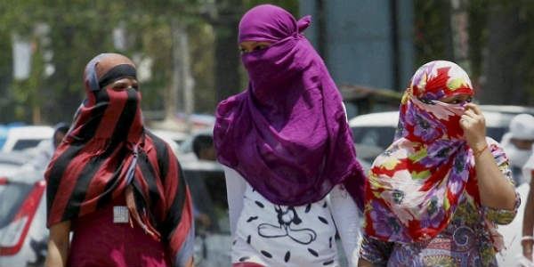
Since last 48 hours, the state of Odisha has been recording isolated thundershower activity, along with squally winds and lightning strikes. However, these showers were very light in nature. Moreover, pre-Monsoon weather activities take place during the latter part of the day and by then, the day maximums have already peaked.
[yuzo_related]
Thus, the weather is very hot in almost all the districts, particularly in the interior districts. As on March 21, the maximum temperature of Titlagarh settled at 40°C, followed by Angul at 39.1°C.
As per weathermen, a trough is likely to originate from Sub Himalayan West Bengal that would extend up to South Coastal Odisha across Gangetic West Bengal. In wake of this weather system, we expect pre Monsoon light rains or thunder squall activities over parts of Odisha during the next 24-48 hours.
Click the image below to see the live lightning and thunderstorm across Odisha
Usually when pre Monsoon season commences, the probability of northwesters and squall increase over the state. Though the intensity of these weather activities is more in April, but whenever any cyclonic circulation or a trough forms over Odisha and adjoining areas, these weather activities occur during March as well.
As per meteorologists at Skymet Weather, these activities will be of very short duration and would not last for long over Odisha. Therefore, we do not expect any significant change in the ongoing hot weather conditions. The day temperatures will continue to settle in the high 30s.
IMAGE CREDIT: Youtube.com
Any information taken from here should be credited to skymetweather.com


